Panama via the Americas to Ireland
March 1984 to May 1985
Transit of the Panama Canal
As already noted, we had to go into the adjacent town of Balboa to make all the administrative arrangements for transit of the Canal. As for most such efforts in Central America, this was a rather time-consuming and tiresome business. We had to deal not only with the American administrators of the Canal itself (American authorities were still running the operation at the time, although the land around had reverted to the nation of Panama) but also with the local authorities in the port of Balboa.
The Spanish explorer Vasco Nunez de Balboa was the first European to lead an expedition to have seen or reached the Pacific from the New World. Incidentally, Keats got it wrong – it was not “stout Cortez” who “with eagle eyes he stared at the Pacific, and all his men look’d at each other with a wild surmise, silent, upon a peak in Darien”, but Balboa. What lovely imagery, nevertheless. Balboa then claimed not only the Pacific for Spain but also all lands bordering the ocean.
Because the yacht club named after him was an inconveniently located and expensive rip-off we had arranged to transit as soon as possible, which was three days after we arrived. Yachts have to carry crew (four in addition to the skipper) to handle lines, and an “advisor”, a canal employee of lower status than a qualified pilot, who tells the skipper what to do. For crew we took a couple from another yacht, Americans Al and Sharon Baker from Kealoha, with whom we did the transit all over again on their boat five days later and with whom we became special friends, and an Australian girl then in her third year travelling round the world on boats.
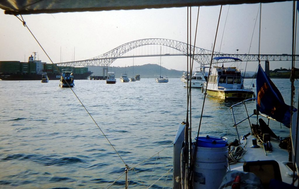 Early on the morning of 29 March 1984 we were joined by our linehandlers and by our "advisor', Ernesto. His first question was, "who's to be my helmsman?", which was not encouraging. Soon he confirmed that although friendly enough he was a rather egocentric and touchy character. However, he did seem to know what he was doing, unlike advisors in some other yachts, as we later heard. He never stopped "instructing", though, which was very annoying: "I am the pilot in charge"; "do what I say"; I know more about yacht handling than you do"; "I don't like taking yachts anyway".
Leaving the yacht club we soon motored under the huge bridge, the Puente de las Americas, and into the first set of locks, the Miraflores. These would take us up to the level of water that would take us through the the middle of the isthmus and across the Gatun Lake, from which water from the Gatun River flows to drive the whole near-miraculous system.
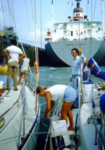
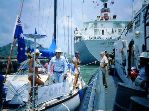 The transit took a long day, during which we covered about 50 miles. The “up” locks were extremely turbulent as the water churned in through the immense lock gates, and again when the big cargo ship a few metres in front of us, with whom we shared each lock, turned its propeller to assist the locomotive tugs which run on rails alongside. For these up-locks we were tied alongside a tug which was going through with the ship, the easiest way to go. There were two sets of locks to transit here, separated by the Miraflores Lake, before we entered the Gaillard Cut through the hills, steep and relatively narrow, seeming even more so by the passing big ships.
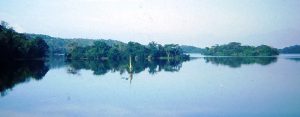
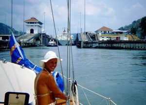 For most of the rest of the day we were simply motoring through the gorgeous upland lake, Gatun, formed from the flooding of the Chagres river and from which all the water needed to run the locks is derived (there are no pumps in the system). Surrounded by very pretty jungle scenery and lots of little islands we used the fresh water to wash both ourselves and the decks.
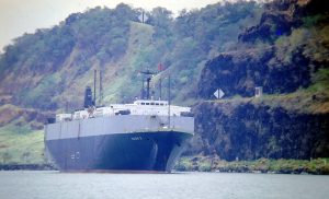 Going down through the Gatun locks, at the Atlantic end of the canal, yachts were customarily placed in front of the ships, either by tying a long line to each corner of the yacht to tugs at the top of the lock walls so that one sits in the middle, or by tying to a tug. The effect is that the bow of the cargo ship loomed over us in a rather intimidatory fashion. But the descent through each lock is much less turbulent than going up, because the water under us was simply draining away each time. Ernesto again arranged things so that we were tied up in a raft of another two yachts and a tug. Then followed a
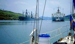
 channel through mangroves and finally in the early evening to the only anchorage, in those days being a big open bay known as "the flats".
The whole transit experience was memorable, at that time a highlight of 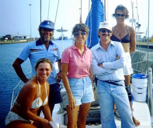
 the voyage, and we really felt rather privileged – the actual transit fee for yachts was around $50-$100, depending on size, while for a typical ship it was tens of thousands of dollars. [In present times it is vastly more expensive for yachts, but it still beats going round Cape Horn.]
For a couple of days we lay at "the flats" anchorage, which had been made famous by many world-girdling sailors who, in their books, had complained about rowing the long and splashy distance to the Panama Canal Yacht Club near Colon. However, when we were there outboard motors were allowed in the harbour, so this was no longer a problem. But the anchorage felt isolated and was exposed to the trade winds, which seemed strong to those of us who had been softened by so much light air on the Pacific coast, and as soon as a berth became available at the club we moved in.
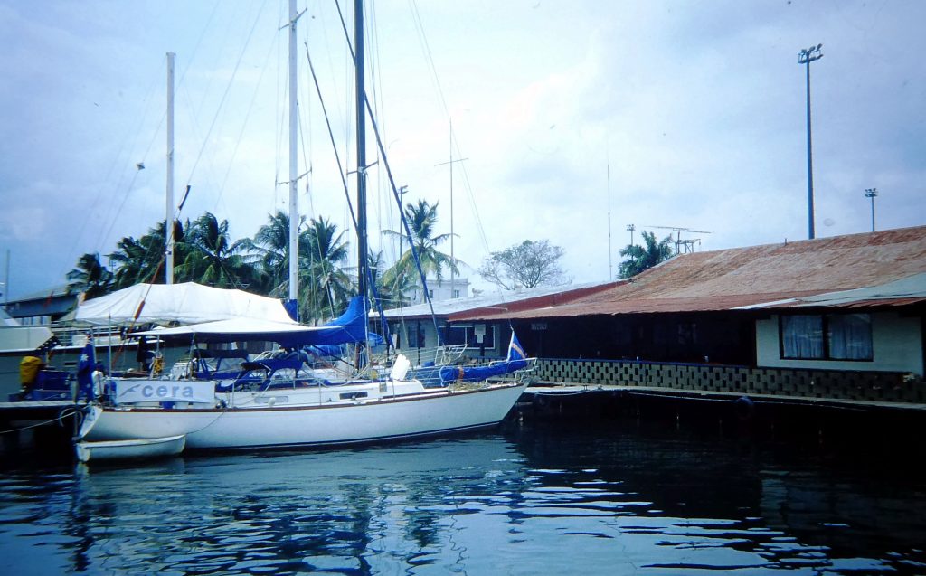 The Panama Canal Yacht Club we found to be a far more welcoming facility than its counterpart at Balboa, and with lower rates for proper berths with water and power. It is in the port of Cristobal, previously in the Canal Zone, half a mile from the notorious city of Colon.
 The French, after abandoning their abortive attempt to build a canal through the isthmus, left a legacy of charming French colonial buildings in Panama. Colon might once have looked like a little New Orleans and, indeed, at first sight it looked like a clean and attractive town. However, with grinding poverty and massive unemployment, it had become very run down. Gangs were roaming the streets, petty criminals whose activities were ignored; two were reputedly concentrating on transient yacht crews, and a couple of yachties were mugged during the time we were there. But both of these were disobeying one or other of the following rules: walk the streets in the daytime only, stay on the main roads, wear no jewellery and carry minimum cash. We wore our scruffiest clothes to venture forth, and tried to look cool and tough!
We asked a little old lady the way to the market one morning, and she directed us to a block further back and said to be “very careful“, with great emphasis!
The produce market was well and colourfully stocked, and Norma bottled several jars of the best meat since Mexico. Right next to it was a reasonable supermarket where several gringos had been forcefully relieved of their change in recent years, so we were pleased to see the armed guard at the checkout, and a police car outside! We returned on foot unscathed, but I then took a taxi (very cheap) to a very rough-looking area to get our gas bottle refilled.
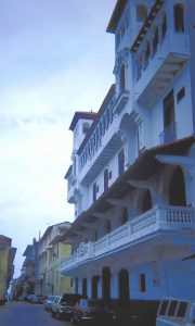 We enjoyed the scenic train trip back across the isthmus to Balboa, where we did some final shopping and arranged Honduran and Colombian visas for the next stages of our voyaging. We took a taxi into old colonial Panama City, being nicely restored by the government. We admired the old buildings and walked the sea walls before returning to the yacht club joining our American friends Al and Sharon to crew in their Mason 43 Kealoha for their transit. We spent the night on their yacht. Also crewing for Al and Sharon were a couple with whom we were to become very friendly in Honduras and in the Bahamas in the following winter, Brooke and David, in Shenanigan.
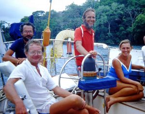 Al had expressed a preference for going “centre chamber”, with long lines up from each quarter to bollards on the lock walls, and as it turned out, there were no tugs he could have tied to anyway. For the skipper this is an easier way to transit, as the only manoeuvring is to keep the yacht in the middle of the lock. But for the crew, including us this time, the line-handling was hard work. The first task was to avoid being hit by the hard ball of the "monkey's fist", thrown down from the heights of the lock wall and trailing a light line which was used to pull up our own long strong line. Then there was the need for constant tending of the lines necessary at each corner as the boat moved up or down, or was hurled sideways by the turbulence.
We made several friends at the PCYC, including Townson in “Blue Waters”, tied across the dock finger from us, with his wife and two teenage daughters. They were running the small resort on Jesusita Island in Costa Rica when we last saw them. They were cruising with a 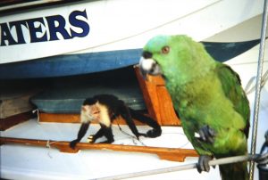 monkey, two talking parrots, a dog and a cat (which produced four kittens). It was marvellous free entertainment to watch the monkey tease the parrot, and listen to the birds chatter. The charming Cuna Indian ladies from the San Blas islands, who came to the club to sell their beautiful “molas” (traditional colourful embroidery), brought their whole families down to see this floating zoo!
 Finally tearing ourselves away from this friendly floating community we sailed north from Panama, having waited a couple of days for the strong NE Caribbean winter trades to swing to the east a bit. In the end we had a pleasant close reach north to the island of Providencia, which is part of Colombia.
This almost unknown small island was once a famous pirate hangout, and was then more famous as a reputed stop on the Colombia-US drug smuggling route. At the time we had never heard of a yacht calling there, but it was described in our cruising guide to the Caribbean and looked a beautiful and interesting island.
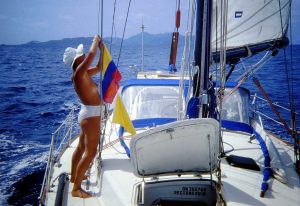 The dawning sun backlit its tall volcanic peaks as we sailed up its west side to the long entrance channel which winds through the fringing reef, and it looked to us strongly reminiscent of Lord Howe Island. On final approach we hoisted the Colombian courtesy flag and the yellow quarantine flag to request pratique (health clearance). But to our considerable dismay, after starting the engine we found we had no motive power to help us in through the extensive reefs fringing the island. I dived over, and quickly confirmed by diagnosis that the blades on our folding propeller had fallen off. The pivot pin had fallen out, and this was the first mechanical or structural failure of our cruise. (We blessed our luck in that the prop had got us through the Panama Canal before falling off!)
Even if we had dared to negotiate the tortuous channel into the island's main anchorage under sail, there was no prospect of getting a replacement prop in that remote and tiny place. Backtracking to Panama lacked appeal, so we doused the flags and pressed on for another 300 miles or so under sail alone to the Bay Islands of Honduras, lying along the northern coast of the country.
The Bay Islands of Honduras
This was an interesting sail navigationally under wind power only, taking us as it did round a prominent but difficult corner of the western Caribbean, with the notorious Cabo Gracias a Dios at the apex of the two faces of the Mosquito Coast of Nicaragua and Honduras. Reefs and shoals extend out for 150 miles. Big ships must take a huge detour in deep sea around these rocky shallows, but small craft have two other choices: hugging the Nicaraguan coast through the Mosquito Channel or finding a way through the reefs. We chose the latter course; our satnav would bolster our celestial navigation, especially at night, and we did not fancy the real chance of being apprehended by the Nicaraguan navy or in some other way being involved in local conflicts too close to the coast. (The Mosquito Channel reportedly could even have been mined!) Overnight during the second day among the reefs we were followed by a fishing boat or small freighter. In the early morning the ship moved up to our port side, a few hundreds metres off. This was a cause of concern, and there was no response to our repeated calls on the radio. To our relief he finally pulled off and away - probably just curious. Not many yachts around here. The next night we passed another fishing boat which, according to its navigation lights and bright spotlights, was actually fishing.
For some 36 hours we sailed in an average depth of 30 metres, rounding the cape about 40 miles off. Fortunately, having no propeller, we enjoyed a commanding  breeze, a 20-25 knot SSE, and we made good time to Coxen Hole on the south side of Roatan. On approach we had to negotiate yet more offshore reefs in light winds before sailing into the bay, the entrance to which was hard to see from outside. The bay is protected and partially enclosed by a little island, Osgood Cay. We anchored by ourselves off Roatan's capital town five days after leaving Panama.
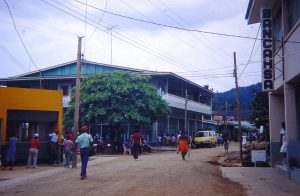 Clearing in was fun. I was looking for the Port Captain, but no officials appeared, so I went ashore to see what the formalities were, if any. Meanwhile, a muscular local man swam out to the yacht and faced an alarmed Norma, whom he informed that he was indeed the Capitan del Puerto himself. He returned later in uniform and drank most of our beer stocks while we fended off his attempts to impose “unofficial” fees and charges. Instead, he took the remainder of the beer home with him. The officials were not at all worried by the shotgun we were carrying, but our folding bicycles both needed a "permiso"! Ashore we fond an incredible mix of black, white and in-between citizens, with English spoken almost everywhere (except by officials!). We contacted the owner of the nearby cay, Charles Osgood, about the prospects for finding a new propeller. He had a couple, but neither was suitable.
The Bay Islands were an almost unknown and little-visited part of the world. [Another note is needed here to explain that they are now a popular cruise ship and resort destination!] The only tourists, apart from cruising sailors, were mostly scuba divers keen to see the deep, steep drop-offs of the superbly beautiful fringing reef, and from the few yacht charterers enticed down from the States by the CSY company. Most Americans, we were told there, were out-and-out scared of “war-torn” Central America.
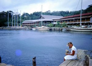 I snorkel dived the next morning to remove, with some difficulty, the boss for the old folding prop, whacking it off with a hub puller and heavy hammer while holding my breath. The next day we got the local bus (a minivan) to the CSY charter base, in the land-locked Brick Bay about five miles east from where we were anchored, to see whether they could help us out some way in regard to our lost propeller. On the way we passed through very attractive, lush green and hilly countryside.
The charter business was not doing well at that time and it didn’t look as though CSY could be making much money. They had one suitable new prop but it was spoken for. However, they were kind enough to dig out from under a work bench a suitable but bent three bladed prop (with which a charterer had hit a coral head). I spent a morning bashing it into shape with a heavy hammer on an anvil. Back at the boat, by way of repeated free-diving with a snorkel I managed to take off the hub of the old propeller and managed to bolt on the new one. After trimming its tips to clear the hull, it worked well enough to get us all the way to Florida, where we had the job re-done professionally.
On the minibus back to Coxen Hole we found again that the coloured locals were generally friendlier than the white Spanish speakers. The original Indian population of the Bay Islands was decimated by the arrival of Spanish slavers. Settlements by the 17th century were established by the pirates of the Caribbean, but when the centre of pirate operations shifted to the Pacific, British settlers quietly moved into many areas in and near the Gulf of Honduras, including Providencia, the Mosquito Coast, Belize and the Bay Islands. The islands were formally declared a colony of Britain in 1852, under the direction of Belize, but nine years later were ceded to a disinterested Honduras. The islanders enjoyed self-management of their affairs for the next century, but recently the Honduras government had decided to “Spanishise” the islands by making Spanish a compulsory language in schools (most islanders speak English with a lilting, sing-song Caribbean-Irish-Scottish accent), sending in Spanish-speaking officials from the mainland and establishing island settlements for poverty-struck mainlanders. None of these moves seemed at all popular with the islanders with whom we spoke.
Among them was the owner of the cay where we had anchored, Charles Osgood. Over rums aboard, Charles gave us a few of his insights. He was a native islander, but his grandfather had come from New Hampshire. Like other islanders, he spoke with a pleasant, lilting multicultural accent. He was very anti-Communist and thought the previous military government had been better than the existing civilian regime. He was scornful of "Spaniards" and only spoke Spanish when strictly necessary!
Conveniently mobile again, we had time to bemoan our abandonment of plan one, which had been to clear in at the east end of the island chain and work downwind through several little bays to Coxen Hole. But we had needed to go there first to have any chance of finding a propeller. The Caribbean tradewinds blow nearly all the time with great force from the east here, and kick up a steep, 2-3 metre sea against which it is a hard job to beat. So we confined our exploration to a few of the protected harbours in the west end of Roatan, all named by buccaneers and settlers of old.
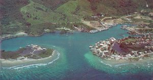
The anchorages were mostly well-protected little bays, entered from the sea through narrow passes in the fringing reef and ringed by simple dwellings built out over the water. Villages are strung all along the coast, and the local people use canoes to pass from bay to bay along little channels between the reef and the shore, often wending their way among dense mangroves as they do so. The people are very poor. Per-capita income in this classic banana republic is the lowest in Central America, although the lobster fishermen who poach the Nicaragua reefs and sell their catch in Florida do quite well.
The village houses are built on stilts in an attempt to avoid what must be among the world’s most ferocious biting bugs – invisible “no-see-ums”. Most of the time the easterly trade wind, which made the waters outside the bays very rough, blew strongly enough to keep the bugs at bay on the boat – but during the calm periods, despite the use of every conceivable repellant, we 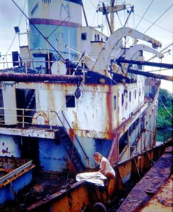 got bitten until we looked like a couple of cases of chickenpox. And the risk of infection in these hot and humid conditions is very real. Gringo settlers were quick to advise us on weird and wonderful repellents, including a lotion from the Avon range designed for other purposes altogether, or baby oil, all best reinforced with DEET.
The first anchorage we moved out to was Dixon Hole, very well protected and with an unusually easy entrance through the fringing reef. We were very pleased to find that the "new" prop worked well. There were a couple of wrecked ships near our anchorage, and we and other yachties had fun clambering over them. I even scored a suitable chart of somewhere we were going. We took the dinghy out for snorkeling and fishing, but catching no fish. We were already getting bitten by the bugs by this time, an unpleasant feature of cruising these islands.
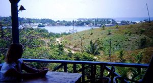 We moved after a few pleasantly restful days a little further east, bashing into steep seas and a persisting wind, to Old French Harbour. This is a landlocked cove entered by a very narrow, shallow channel through the reefs. Across from us was a native village of clapboard and tin houses built on stilts over marshy flats, where water is drawn from a communal well and has to be boiled before drinking. On the hillside behind was a tiny bar/hotel, named the French Harbour Yacht Club by its American owners, where we enjoyed many a cold beer as we overlooked the bay. Humming birds hovered around the flowers. The odd charter yacht shared the anchorage, but they were being advised not to stay because of fear of theft.
Shopping in French Harbour town, a short dinghy ride from our little cove, could be a frustrating experience. After unsuccessfully asking at one shack-like store for beer, eggs and bread, we were told cheerfully “no hay nada” – we have nothing! The chemist shop (a 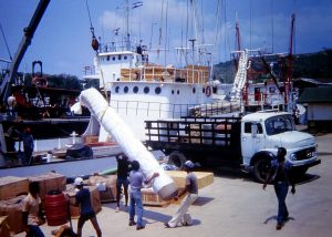 room in the back of a restaurant) sold aspirin at 5c each. The pills subsequently proved to be so old that they were ineffective. Coxen Hole was in fact, the only place in Roatan with reasonable supplies, a post office and a bank, and we wished we had known that before leaving there! On the town's main wharf we watched the unloading of huge bags of lobster tails from an island trading boat.
 Here, in the back of beyond, on going ashore one morning we passed an old American yacht on a dilapidated wharf with an equally old sailor aboard. “How are you” he said. “You don’t happen to know the price of gold this morning, do you?” There are some unusual conversations to be had among voyaging yachties.
The prevailing wind stopped us moving further east along Roatan's south coast, so we turned back to the west and in a commanding wind sailed around the western tip of the island. There is excellent snorkelling and diving on the reefs along the north side of Roatan, and we were made very welcome at a friendly resort, Anthony’s Key, which caters for dive groups. The narrow winding pass into the small anchorage was deeper than it was wide, with cliff-like coral formations hiding eery grottos as shafts of sunlight lanced the clear water to its invisible depths. It was the most amazing snorkelling we had ever experienced.
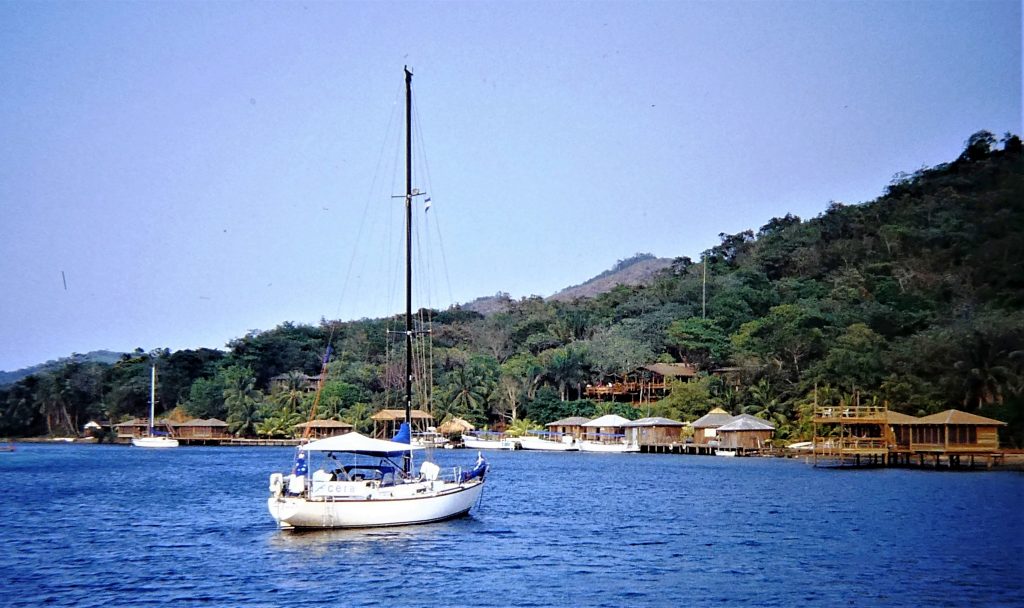

The resort became quite a meeting place, mostly for divers but also for the few visiting cruising yachts, in most cases with crews with which we were already good friends and with whom we kept in general touch through the VHF radio. They included David and Brooke in Shenanigan, whom we had met in Panama. Sharing evening drinks and meals was part of the routine, with good times we will never forget. Nor will we forget crab racing in the sunset, a regular entertainment in the resort.
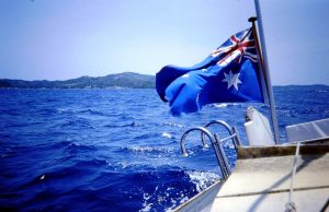 Finally, the persistently strong winds eased and we set sail for our next passage in Central America, from Honduras to Belize.
Belize
It should have been an easy overnight sail to the west with the trades from Roatan to Belize, where we had planned to officially enter at Punta Gorda, deep in the corner of the Gulf of Honduras. Overnight, yes; easy, no, as during the approaches Belize gave notice of what was to be a long period of unsettled weather. Just as we were nearing the south end of the long barrier reef at 0300, we were hit by a vicious thunderstorm with strong winds from the west. We hove to until dawn, and then beat in past several outlying reefs and small islands (cays) to a big bay by a prominent landmark, the Seven Hills, where a collection of mangrove islets promised good shelter near the mainland, deep in the Gulf of Honduras. We headed into them.
Anchoring among the thick growths of tropical mangroves, which grow on outcrops of old coral, was a new experience that we had fun repeating several times along the Belize coast. The available charts showed no detail at all. We therefore groped carefully in through the shallow waters – “eyeball navigation” – to find ourselves in among a maze of navigable channels among clumps of mangroves, jointly known as Mangrove Cay. There was good holding for the anchor in 6-12 metres, over a sandy bottom, just north of the southern port of entry, Punta Gorda. Choosing our own Cera-sized space we enjoyed splendid protection among the mangroves from the shifting wind as it whistled in the rigging.
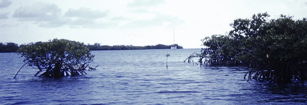 The Mayan Civilization spread into the area of Belize between 1500 BC and AD 300 and flourished until about 1200. European contact began in 1502 when Christopher Columbus sailed along the Gulf of Honduras. European exploration was begun by English settlers in 1638. After battles with Spain it became a British colony in 1840, known as British Honduras, and a Crown colony in 1862. It fell to the British by default, because the Spanish could find nothing worth plundering, and the British claim was maintained by the presence of log-cutters after mahogany, to be sent back to the homeland for the use of furniture makers such as Chippendale. Guatemala's claim to Belize was settled reasonably amicably and it became fully independent from Britain on 21 September 1981 only four years before we anchored there.
We learnt that Belize has a diverse society that is composed of many cultures and languages that reflect its rich history. English is the official language of Belize, while Belizean Creole is the most widely spoken national language, being the native language of over a third of the population. Over half the population is multilingual, with Spanish being the second most common spoken language. It is well known for its immense offshore reef.
When we sailed there in 1984 it was a true backwater country. No cruise ships were going to the country and it was bypassed even by the Central American Highway. Aldous Huxley wrote of it in the 1930s: “If the world had any ends, British Honduras would certainly be one of them. It is not on the way from anywhere to anywhere else. It has no strategic value. It is all but uninhabited.” But in the same book, “Beyond the Mexique Bay”, Huxley also wrote with astonishment of the coral islands of the barrier reef, which is second in length only (by a very long way) to Australia’s own. We were told that it was the longest reef in the western hemisphere!
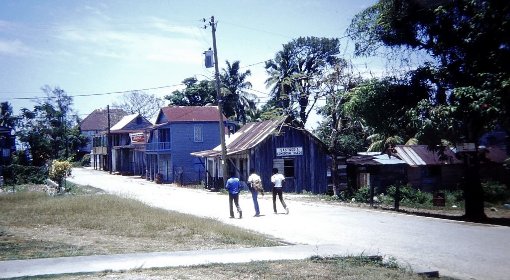 Most of the 140,000 population live in crowded, low-lying Belize City towards the north end of the country near its border with Mexico. Most of the interior is trackless jungle. But we had started our explorations down south, at the official southern-most Port of Entry, Punta Gorda, where we had to check in sooner or later. When the winds eased we left our mangrove hideaway and groped through the shallows to anchor well off the town in open, choppy waters. Official clearance procedures were painfully slow, and there were no fresh provisions to be had in the settlement. We got away and returned to Mangrove Cay as soon as possible.
Entry hassles set aside, we came to find that Belize was a wonderful place! Perhaps because of their isolation the people are very laid back, of a Caribbean rather than a Spanish nature, speaking smiling English. Although the weather was not brilliant, as the rainy season was by then (May) nearly upon us, the sailing on clear days was lovely, as the Caribbean chop was cut down by the offshore reef. There were some scenic little coral islands along the reef, and plenty of protected anchorages among the mangroves along the mainland coast, as we had already found. Apart from us, there were no transient cruising yachts in the country, although we saw one or two charter boats out of Sail Belize, and a few American yachtsmen had settled there for an extended period.
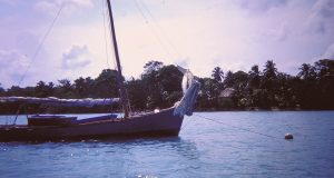 Back among the mangroves we sat out some continuing wet and windy weather, in fine protection, topping up our fresh water tanks. After a couple of nights we made a short move up to a mainland bay, New Haven, again groping through shallow uncharted waters but muddy and not dangerous. The only yacht there was a small obviously neglected boat with sun-rotted sails, and we saw a small settlement ashore. The other side of the bay there was a beach, so Norma was soon ashore exploring.
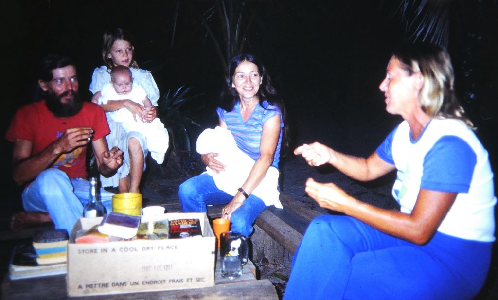 The next day we went ashore to the "settlement", which turned out to be the home of Americans Charlie and Bonnie and their five children, aged between three-month twins and the eldest, a girl aged nine. Charlie was a dead ringer for “Father” in Paul Theroux’s terrific book The Mosquito Coast (although Charlie was offended by any such suggestion). He and his family had settled in the run-down remains of a deserted and remote logging settlement on the shore “to get away from it all”. Just like “Father”, Charlie was full of plans for development, including a boat slipway and repair yard. To this end he was collecting loggers’ junk from the surrounding jungle, along with a collection of non-functioning outboard motors. Everything, including his yacht in the bay and all the outboards were there to be fixed up, eventually.
 He was a true hippy dreamer, and we wondered what Bonnie thought about this apparently idyllic but lonely lifestyle. We had them aboard several times for drinks and a meal, and on leaving, she wistfully murmured “it was fun” after leaving our boat for the last time. We gave the eldest girl some picture books, and her reaction brought tears to our eyes. For the rest of our few days there, she sat at the end of their rickety wharf, avidly reading and holding the books. Schooling was clearly going to be a massive problem. (Further up the Belize coast we heard that he was known as Hard-Luck Charlie. Long after we had left the country we heard from other cruisers that their dream had faded, and Bonnie had taken the kids back to America.)
Their settlement was completely enclosed by the jungle, with no access by land. But the jungle featured lots of beautiful and interesting plants, including some lovely wild orchids.
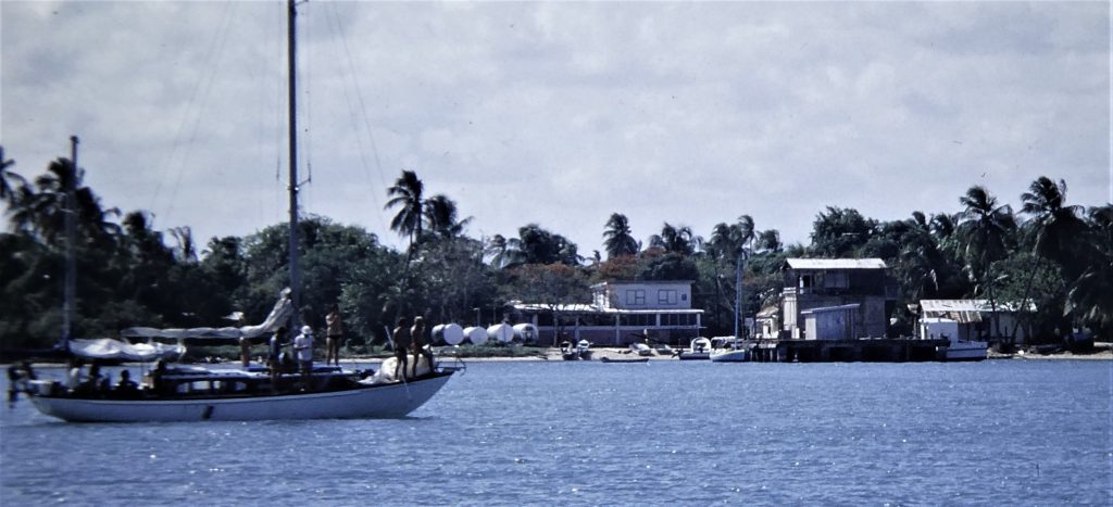 The next step up the coast was to Placentia (or Placencia) Cay, a long thin sandy island running parallel with the mainland, on which lay a little village where the main activity was fishing. Between the cay and the mainland lay a beautiful little channel, offering excellent protection and the opportunity to interact with the local people and do a little basic provisioning.
We did wander ashore and walked the "main street", a narrow concrete walkway laid on conch shells, from the fishing co-op plant at the wharf. Wheelbarrows were the main means of moving stuff. 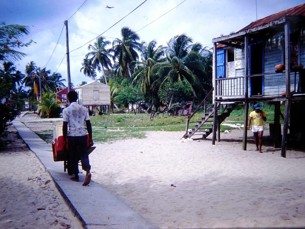
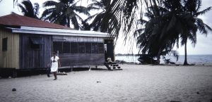
The little store on the beach allowed of some provisioning, but all of a basic nature. As in other remote places, we always thought twice about buying stock that the local people needed for themselves. The food and fresh produce in Belize were pretty dismal, through lack of interest and inclination rather than shortage of lush land. An interesting hangover from the slave ancestry of many of the people is that working in the fields is considered demeaning, and not worthy of real men. Accordingly, most of the produce is imported and expensive. How they afford it, we had no idea. That was a recurring wonder to us in Central America and we were to be constantly reminded of it in the much cheaper supermarkets of the rich United States.
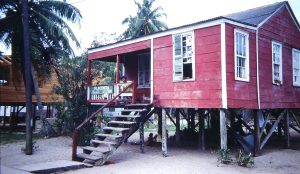
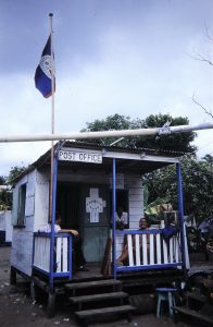 The little houses along the main street were on stilts, for protection against flooding when the sea washes across the sand spit in storms. Among them were the police station (right) and the post office (left). At the latter, the postmistress told us that it was World Communications Day, and in recognition of that, Radio Belize had announced that there was a plan in hand to have a telephone available in every village by 1990.
We spent many very sociable times with American sailors based there, often, like us, sheltering from wet and windy weather. But after this pleasant stay it was time to get going again, and on the following morning we moved on up the reef and beat up against a north wind to a group of  tiny islands, Pelican Cays. This entailed crossing the Inner Channel, which separates the mainland from the long
 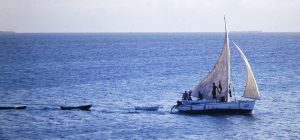 north-south range of coral reefs and attendant cays. We anchored in a small cove among mangroves, and were thus typically well protected. Peaceful, but still showery. We moved from there up to South Water Cay, right out on the outer reef, where the snorkeling and fishing were good. Several fishermen were based there with sailing dinghies, often towing a string of dugout dories. While there we saw a police launch waylay one of these sailing smacks, which had apparently been suspected of taking off-season crayfish. Once the police had gone, the boat went right back out and retrieved the big bag of crays they had just dropped into the sea right behind us!

The open sea was bringing some swell in, and the weather was not brilliant and getting windy, so we continued our northward crawl up to a collection of cays called Tobacco Range a bit further in from the outer reef. We groped very carefully into a well-protected little cove, the islets covered in mangroves. Norma baked a superb batch of coconut-flavoured bread. A little further 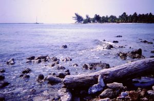 north we came to Bluefields Range, another collection of mangrove islands, where we again motored carefully into an uncharted but well-protected anchorage. This may have been used by the Dutch pirate Bleuveldt, hence the name. More thunderstorms followed us in, being then prevalent all over the Caribbean, we learnt. The next and final stop in the big Belize lagoon within the barrier reef was Robinson island, just south of Belize City. We anchored off a small shipyard, near a shark processing facility, all with big plans for expansion . . . It was a pleasant little island, and we took the dinghy for a tour around it.
We were off early the next morning towards Belize City. We initially anchored just off the town, but it was very uncomfortable in choppy water, the wind blowing across the current. We called the Sail Belize charter operation, which we knew operated out of a marina on the north side of the peninsula on which Belize City lies, and they suggested we come round to them. They talked us through some very shallow water, and we dug a groove in the mud with our keel before reaching the small marina.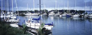
This turned out to be the centre of activities for American and other expats, and we soon made a stack of friends, including the very relaxed marina manager. We were immediately offered a lift into town for some provisioning and a check in with Customs. 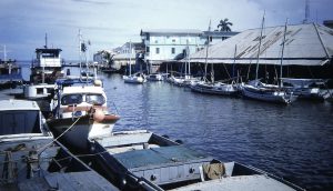 We were immediately favourably impressed by Belize City, very Central American but English speaking - Belize used to be British Honduras, after all - and with very friendly people. We stayed a week there, enjoying lots of good company on the yachts and among Americans and Brits living or staying here. Several were from the British Forces stationed in the country. We were taken out on speedboat trips up Haulover Creek, which cuts right through the town, and further on into
 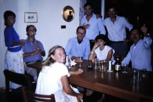 rivers lined - almost inevitably - with mangroves. After a big party, we overnighted ashore. We also did a fair bit of maintenance work on the boat in these super-convenient conditions.
The weather continued to be pretty awful, though, with lots of rain and wind. It was the start of the rainy season, and very close to the start of the hurricane season as well.
 We were sorry after more than a week in the marina to leave our friends and a little nation we had become fond of, but with a break in the weather it was time to sail deep into the Caribbean and across to the Dry Tortuga islands of the USA. However, the original plan of action changed a little on the day we were due to go into Belize City and apply to the Mexican Consulate for a new set of visas for us and for the boat. Our intention was to break up the passage to America and perhaps visit Mexico's Yucatan Peninsula and some Mayan ruins. But we looked at each other and asked, do we really need to go through that Mexican bureaucratic run-around all over again? All aboard said no, so it was to be a straight passage to the Tortugas.
However, first we had to sail away from Belize city to the north-east, which we knew was going to be difficult because the depths of water between the city and the sea would be marginal for our yacht at best. On the morning of 6 May we left early, following the channel supposedly marked by sticks stuck in the mud. However, they were poor guidance and gave no indication as to which side of the sticks a vessel should pass. By 11 o'clock we had got it wrong and were aground, half way across to tiny St George's Cay, which was our marker for the way out to sea. We were pulled off the mud bank by a passing local fishing boat and cleared St George's for the open sea by noon.
It turned out to be a tough few days of sailing. The first stage of the passage was a long sail to the north, up the eastern coast of Mexico, whose border was just north of Belize City. A major potential obstacle was the enormous Banco Chinchorro, a vast elliptical offshore reef on a shallow bank with a small cay in the middle. Our course was to be through the 15-mile wide "Chinchorro Gap" between the reef and the mainland, which we would transit during the first night. Inevitably, our satellite navigator, which only gave our position at periods of indeterminate time, decided to go to sleep just when I wanted it most. There was no lighthouse on the reef. The wind was against us, and to make sure we went through the middle of the gap I reverted completely to celestial navigation, taking a line of position from Mars and a little later a full fix using Mars, Jupiter and the moon on a moon horizon under a clear sky.
A north-going current (the southern tail end of what becomes the Gulf Stream) shot us through the gap, but against the wind the seas became steep and the sailing wet and uncomfortable. Cozumel island lies just off the Mexican coast near Cancun; we were intending to go outside Cozumel but that would have been dead to windward, and we sailed through the channel between Cozumel and the mainland. The waters here were calmer and the day very pleasant. The sea was glassy clear, and we could see deep into the depths as the sun's rays speared down through the water.
Past Cozumel we saw many cruise ships lying off Cancun, and then we had to head north-east, or as near as possible to that course, passing west of Cuba and through to the southern Caribbean. The wind was still not helping at all, most of the time heading us, with steep seas and the need for reducing sail. Finally, after five hard days and 600 nautical miles (about 1,200 km) through the water against the wind, we went through a well-marked (i.e. American!) channel through the outer reefs and keys (not "cays" any more) of the Dry Tortugas. We wended our way to the anchorage in a bay just off the magnificent Fort Jefferson. We stayed aboard and had an early, peaceful, night.
Florida via the Dry Tortugas

Cruising yachts are not supposed to make American landfall in the Dry Tortugas because it is not a designated Port of Entry, but the friendly official who greeted us when we went ashore accepted our plea of adverse weather and welcomed us to America. He said we were welcome to any fallen coconuts from the few trees that stood in front of the fort.
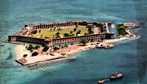
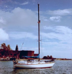 The Dry Tortugas is a small archipelago of seven coral islands about 70 miles (110 km) west of Key West, Florida. They represent the westernmost extent of the Florida Keys. The first European to see the Dry Tortugas was Juan Ponce de León, who visited in 1513. He caught 160 sea turtles there and subsequently referred to the islands as the "Tortugas" (turtles). They are called "Dry" because there's no surface fresh water on the island. The group was an American naval base from colonial times to the early 20th century, and seen by America as a strategic point for the control of the Straits of Florida and the Gulf of Mexico.
On the main island by the anchorage is a magnificent fort (one of the world’s great and largest follies), which we soon went ashore to explore. It was built in the mid-1800’s but never completely finished. Intended to guard the straits of Florida, it was obsolete long before completion because the new rifle-barrelled cannons would have been able to blow it to bits.
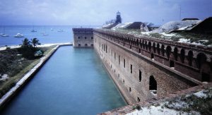
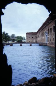 It was built on sand rather than solid coral rock. This meant that the tons of bricks that were ferried out with huge difficulty to the little island partly sank it, so that the underground cisterns designed to store what little rain water ever falls there cracked and let the sea in. The salty air rusted out the ironwork protecting the cannons, and washed the lime out of the bricks. It was used as a prison for a while, and its most famous prisoner was pardoned, a little late, by President Carter. He was Dr Mudd, who was unwise enough to treat Lincoln’s assassin and, in an interesting twist of medical ethics, was jailed for his pains.
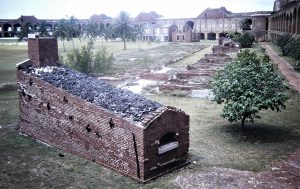 For the visitor it is hugely photogenic, with its crumbling brickwork set in a blue sea, with thousands of noddy and sooty terns flying around from their nesting colonies on the adjacent Bush Island sanctuary. There are hundreds more bird species officially listed here.
There is good clear water for swimming and snorkelling around the islands, although we did see rather too many barracuda swimming along with us! Norma did have some success with fishing for for small jacks off the boat. They are a popular destination for yachts-people from Florida and Louisiana, who were very hospitable and friendly.

After five pleasant nights we left in the evening for an overnight sail east to Key West, the southern-most town in continental America. Yet again we found sailing east in the Caribbean to be hard going, tacking and punching into the prevailing winds that are kicking up steep seas against the east-going current. After traversing the channel between low outlying islands and banks we came to anchor the next morning off Wisteria Island, opposite downtown Key West, the island at Florida’s tail.
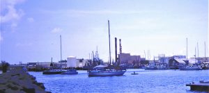 It was a rolly anchorage with poor holding for the anchor, and after moving over to Key West Bight in the town to clear Customs we were allowed to tie stern-to inside the (expensive) marina breakwater for free, which both the marina and the harbourmaster said was OK. Foreign yachts got a very good welcome in the US those days, hospitality that we were going to relish several times over the next few weeks.
 We thought that Key West was a splendid little place. Near us was an interesting old turtle canning factory and a good marine supply store. A short walk took us into the town, where we able to pick up some supplies, maps and brochures. Particularly attractive was the "old town" The next day we climbed the high lighthouse for the view and then visited
 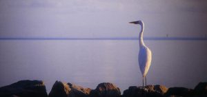 the home of Ernest Hemingway, author, fisherman and big game hunter. Walls through the whole house are covered by the stuffed heads of his “trophies”. After the guide had pointed out the hordes of cats wandering round the house, all of which are descended from the scores that were Hemingway’s pets, a big coloured man standing behind me murmured, “for a man who loved animals, he sure killed a lot of them!”
Florida to Maryland
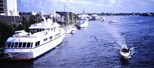 After four nights we were off again, this time for our planned destination of Miami. The wind was very light for a change, so we motored or motor-sailed round the tip of Florida. We soon found ourselves in the Gulf Stream, flowing quickly through the gap between Florida and the Bahamas, and at (for us) high speed we whistled past Miami in the middle of the night! Thus, our destination became Fort Lauderdale, which we were intending to visit anyway. We started into the long channel into Lauderdale at 7:30 in the morning, came through the entrance to the busy port and in front of the massive industrial area of Port Everglades turned right - north - for a short distance along a stretch of the Intracoastal Waterway. We then passed numerous posh marinas packed with large motor cruisers and yachts and instead of continuing on the ICW cautiously motored through a complex set of markers to head inland along the New River into the heart of the city.
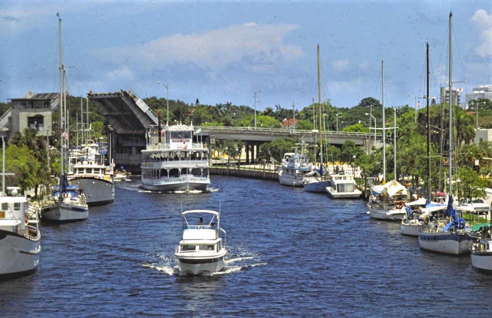
The short trip along the river was interesting and attractive, initially lined with beautiful waterfront houses and parkland. We knew that there were places along the river where we could tie up in defined mooring places even supplied with power, on a first come, first served basis. On our first try, near some industrial docks, we went aground, but a little further along we came to a gap in the line of moored boats in an excellent place, by a minor tree-lined road, between two bridges, at an affordable price. In very hot and humid weather we soon got the bikes out and reassembled and took a long ride north into the centre of the city to pick up a pile of mail. A violent thunderstorm on the way back warned us of the weather conditions which were going to be a feature of the next few weeks.
Fort Lauderdale is named after three forts that were built by the United States during the second ware with the Seminole native Americans in the early 1800s. The city was developed about 50 years later, being based on the development over wide expanses of low-lying mangrove country into a network of 135 miles of navigable waterways, islets and residential properties, leading to the notion of a "boat in every backyard".
 We knew that because of its boating heritage the sprawling town, although not looking that impressive downtown or in the suburbs away from the multitude of waterways, would be a good place for one of our periodic refurbishing and purchasing sprees. That certainly turned out to be the case in one of the world's busiest boating centres. Crews from local boats were always ready to give us lifts around the place, including to a marine store where we bought a new cooking stove to replace the original, rapidly-rusting one (for which we got $35 in trade at the store!).
We cycled out into the suburbs and bought a new hi-fi radio/CD player. This was a joy – I was never happy with the car-type Pioneer tape player with which I replaced the original Sony in Fiji. Now we could enjoy the excellent FM stations transmitting all over the States, and by doing some tricky rewiring of the back of the system I could even have the shortwave radio playing through the loudspeakers, which distinctly improved the quality of BBC and Radio Australia sound! We had spent well below budget (about $3,000 in all) during the seven months in Central America and thus felt we could justify the odd luxury. During that cycle trip we came to understand that Floridians were unaccustomed to bicycles and did not think much of them!
We did a lot of maintenance, too, and got a boy to dive and remove the partly unbent propeller to take to a specialist workshop for a proper realignment. It was returned in perfect condition and reinstalled by the boy, all for about $50.
We caught up with several old friends and made many new ones. We were thrilled to see Brooke and David from Shenanigan anchored in the Las Olas basin in the ICW and with whom we had first became friends sharing crewing duties in the Panama Canal on Al and Sharon Baker's Kealoha. To our delight Al and Sharon were also in Lauderdale putting a new engine in their boat prior to selling her. In a rather surreal experience an Australian tourist walking past said hullo and turned out to be an engineer who had installed a new computer system in the road accident research centre I had been heading in Sydney.
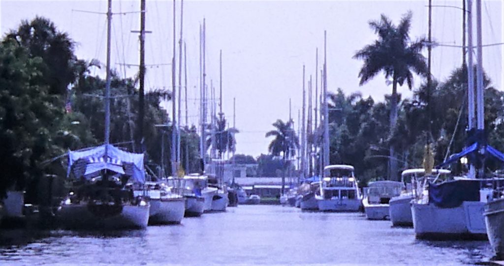 We took some "scenic" trips in the dinghy around the masses of waterways and waterfront that completely fill the two kilometres or so of reclaimed land between the original town and the sea. New River, where we were tied up, is the always fascinating central spine of all these waterways as it winds through the city, and is quite a main road of pleasure craft, working boats and tourist ferries. Lots to see and watch, and laws against making wakes are quite strictly followed. Pottering around the more peaceful waters away from the river we received friendly waves, passed under multiple bridge, and viewed lots of lovely houses with palm trees in their gardens and boats on their jetties.
Despite a showery and overcast start to the morning, after 12 busy days we finally left Fort Lauderdale on Tuesday 3 July 1984, heading out for Southport, North Carolina, for what was to be our final ocean passage for a long time. We had become used to the Lauderdale weather pattern: hot and muggy, building up to an often violent thunderstorm in the late afternoon. Sure enough, despite a quite favourable weather forecast, after making out to sea around noon and turning north, at about 8:00 pm 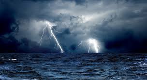 we encountered a vicious and frightening thunderstorm the first night out. Lightning was all around us, and it was pouring rain in pitch dark between the flashes. This was a truly alarming experience, and for the first time I set heavy wires down into the water from the rigging, one of the ways recommended to divert lightning to the sea. (The photo is an image from Google, but that's exactly what we were seeing!)
However, conditions settled soon after, and from then on we enjoyed a generally pleasant reach most of the way, once again much aided by the Gulf Stream. The famous ocean current really has to be sailed to be appreciated. Even the slightest wind against it raises a substantial chop. Near the edge of the stream the current eddies and swirls, and at one point I dived for the chart after Norma called me up to see what I thought about a mass of white water we were about to sail into. It looked just like water breaking over a shoal or a river bar, and it was enough to slosh water onto the decks in less than 10 knots of wind. All this confirmed our plan to use the Intracoastal Waterway when the time came to retrace our steps in the autumn, when we would be expecting the northerly winds that would make conditions even worse!
We turned inland towards the town of Southport, North Carolina, first traversing a long channel in from the sea between vast shoals reaching out to sea. We motored a little way along the Intracoastal and turned up into the shallow Dutchman Creek, where we came to anchor. It was peaceful and quiet in these marshy surroundings. There were lots of birds around, and by evening it was dead calm. Just what we needed.
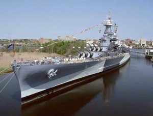
The next day we spent some time getting unstuck from the mud, but then had a lovely run up the ICW to a little town called Wrightsville Beach, where we signed in for a month at a marina. We needed a secure berth because we were leaving the boat for a while. The town is about three hours driving from the university town of Chapel Hill, where is the home of our old friends Bob and Fran Campbell. With their daughter Carol they were soon down to welcome us. The next day we cleared the yacht's decks 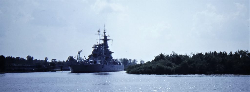 and Bob took us to visit the first of the many wonderful sights they were show us during the coming days, the USS North Carolina, lying peacefully in a creek near Wilmington. This is a famous WW2 battleship, first commissioned in 1941 as an exceptionally fast and heavily armoured battleship that played an important part in most of the sea battles in the Pacific. Bob and I love exploring this kind of museum ship, and we spent a long time poking round all the corners of this huge vessel.
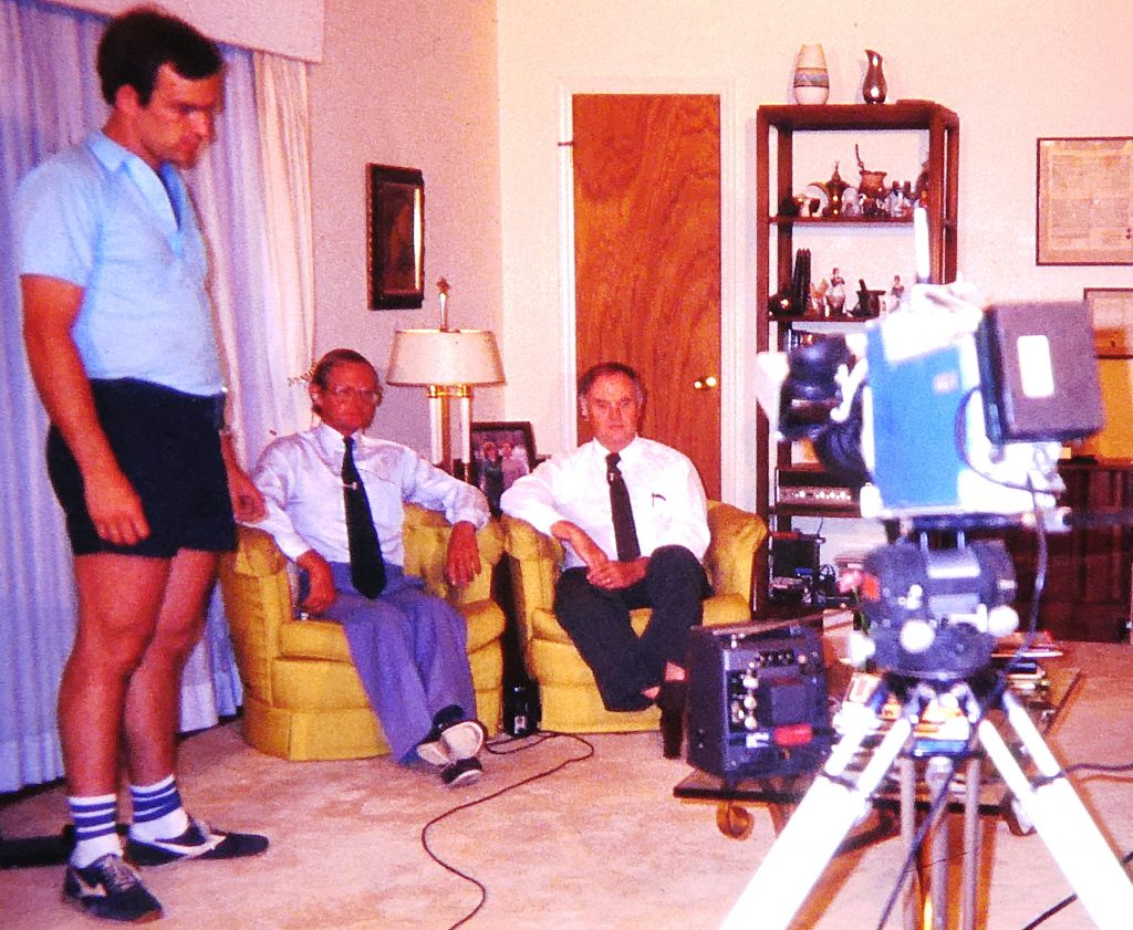
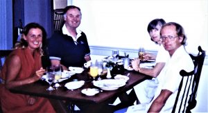 I soon had the great pleasure of visiting the Highway Safety Research Center of the University of North Carolina. Professor B J Campbell (Bob) was the centre's long-time director, leading its world-leading research and providing unmatched expertise for the building of road safety research as a serious scientific discipline. Up to this time I had only met Bob and his people at various conferences and through correspondence, and it was a privilege to become friends of a closer nature. Bob's wife Fran was also a long-term academic.
An active road safety debate at the time was the introduction of airbags for supplementary protection, particularly controversial in the USA because of a general reluctance among road users to use seat belts and a flat objection to follow Australia in making their use compulsory. Bob, being a go-to expert for the country's media, was often interviewed and he soon hauled me in to join him in an interview at their home.
 We had a great time "using" a house for a while while Bob and Fran were off at work. We had the generous use of Bob's 1967 Camaro, made use of some good local bookshops and spent hours downloading their extensive record collection on to tapes for the boat.
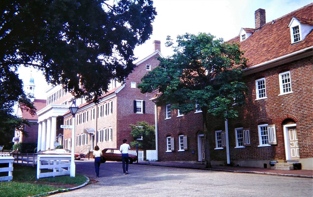
  With them we visited Fran's family farm - where I mowed the lawn on a ride-on - and took a trip to Old Salem and its lovely old buildings. The town (not to be confused with Salem Massachusetts of witches fame) was founded in 1766 by members of the Moravian church, one of the earliest protestant groups that traced its beginning to the 15th century martyr John Hus. It operated as a closed congregation town in which all affairs were directed by the church. Old Salem is the historic district of the Winston-Salem, the two towns having merged in 1913.
We did a short but more extensive tour of North Carolina country with them, including a pass down the beautiful Blue Ridge Parkway. The scenery is of green, rolling hills, a few of which grow to mountains; the road itself bypasses all towns and commercial traffic on it is 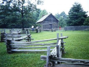
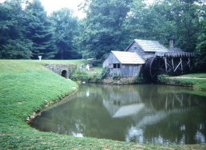 prohibited. The roadsides were a mass of wild shrubs, predominantly rhododendrons, and we often stopped for walks through the woodlands to waterfalls, or to look around grand mansions of the Old South. We visited some lovely old farms with traditional equipment, marvellously maintained (for tourists, obviously, but no less attractive for that).
A place really has to be visited to get a sense of its history; the original English settlers made their base in North Carolina (some disappeared – the “Lost Colony”), much of the War of Independence was centred here, and it was of course the location of many battles in that most extraordinary of conflicts, the American Civil War.
We did relish some quirks of the South. Shopping at a cut-price but popular supermarket chain called "Piggly Wiggly was one. Having to take a quick run into an adjacent county to "paper-bag" some wine back to our dry-county motel one night was another.

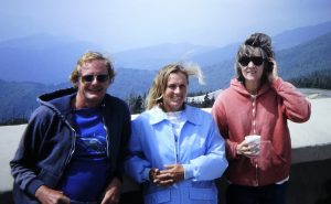 We much enjoyed meeting the Americans of the South, rather to our surprise, having what I imagine are the usual prejudices about red necked would-be slave-owners. The people we had met in Florida rather reinforced such prejudices, but we were assured that they are not “real” Southerners, and that we could continue to expect the courteous and friendly hospitality to which we had become accustomed. Australians, of course, are pretty rare beasts in this neck of the woods, and this alone made us creatures of some interest.
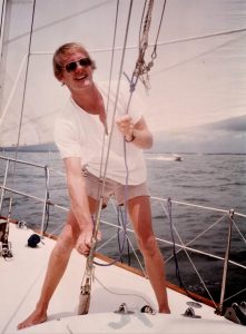
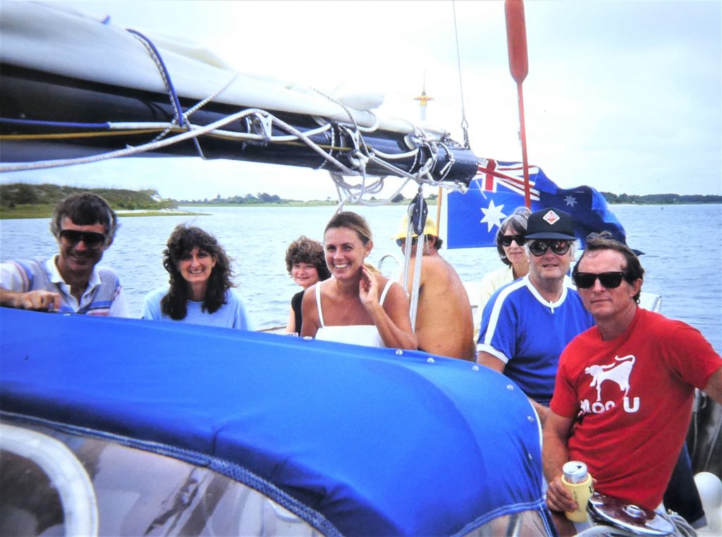 Back aboard for a short while, we were able to provide dinner for Bob and Fran, and we took them and some of the HSRC people for a sail briefly out to sea in good weather before lunch at anchor and a short motor up and down the Intracoastal. We returned to Chapel Hill for another week of the Campbells' generous hospitality, recorded some more music, and visited yet more of the local sights.
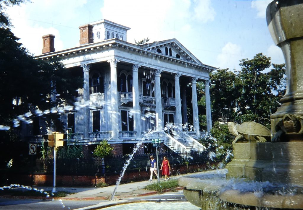
We were back on the boat for good by the end of July after this most pleasant interlude. I did some maintenance using the convenience of the marina, and Norma set about bottling no fewer than 30 bottles of turkey, apples, chutney and many other provisions. Carol was living and working nearby, and took us into Wilmington for a tour of the magnificent houses and mansions of the Old South.
On August 7 we set off again by water to the north, taking the Intracoastal Waterway to cut off notorious Cape Hatteras and staying “inside” all the way up to the Chesapeake. The waterway is an extraordinary combination of lakes, sounds, dredged channels through swamps, and man-made canals. It is well marked, but requires careful navigation in many open stretches as  the tidal streams try to sweep the boat off the narrow dredged channel. Many times the boat was some extent crabbing slightly sideways to keep the channel markers in line. It was just about deep enough for our two-metre draft, but the anchorages which lie off the main channel usually saw us scraping the muddy bottom overnight.
There are scores of bridges, nearly all opening; usually the bridge operators would open the bridge when they saw us coming, and sometimes we needed to call them on the radio. They were all unfailingly helpful and friendly. "Keep 'er comin', Skip!"
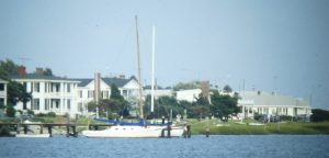
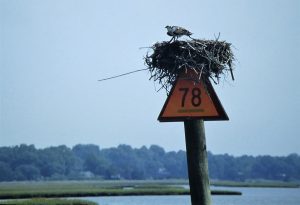 Parts of the ICW are pretty boring, especially as we had to motor practically all the time in order to ensure making the next night’s planned anchorage, but most of it is attractively scenic, sometimes wooded, sometimes lined by magnificent mansions with glowing green lawns sloping down to the brown water. We often saw ospreys nesting on the channel markers. It was generally a lot quieter than we had expected, but by this time it was mid-summer, and off-season for ICW transit – we expected it to be much busier during the migration of boats south in the fall.
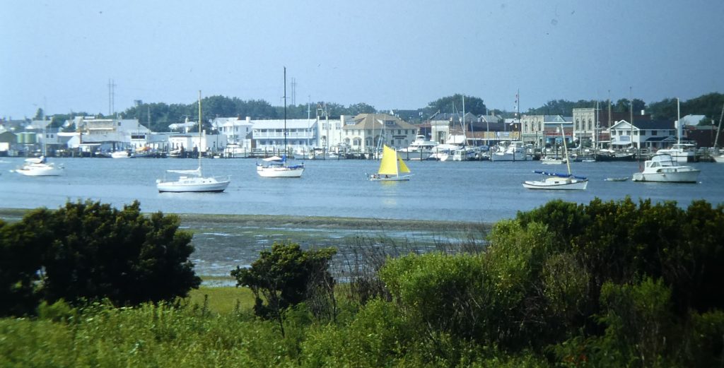
We made a six-night stop at Beaufort NC, a very pleasant town with a maritime heritage and an interesting history because of its relatively easy access to the sea. It had recently undergone substantial restoration of its older (17th-18th C) quarters to emphasise its history. It was once a centre for the whaling industry. In its Old Burying Ground there are plaques telling the 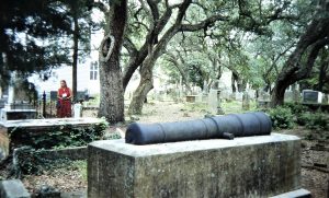 stories of some of those lying there, a marvellous initiative.
We anchored in the waterway opposite the town, and Norma spent time searching for mussels and clams in the sand flats between the waterway and the sea. Wild horses often shared the flats with her, along with flocks of seabirds. We caught up yet again with John and Clydie Connolly, our friends from Hawaii and San Diego days. We enjoyed a splendid little chamber concert in the library, and visited the excellent maritime museum in the town. The museum even offered yachties a free loan of their floppy old Chevy wagon for shopping trips.
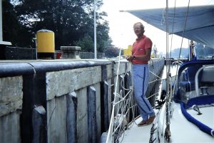
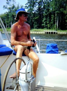
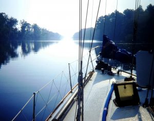
This was a good stop, and then we were off across Pimlico Sound and the Alligator River, enjoying lots of peaceful anchorages on the way. We finally reached Norfolk, Virginia, on July 20, after passing through a set of locks separating Norfolk Harbour from the ICW, dropping us about 30cm!
We first anchored by the military hospital in a bay on the western side of the lower harbour, but after making some enquiries it appeared that we could tie up on the "Waterside" dock right by a trendy new shopping and tourist centre. We spent three nights there on our own, and spent much of the time talking to the local passers-by about our cruising. The American people were endlessly interested in our voyaging and lifestyle, asking dozens of questions. We took a ferry over to Portsmouth, on the other side of the harbour, and toured the attractive old wooden buildings 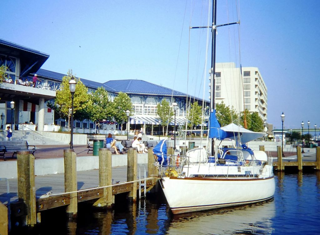 and the interesting naval shipyard museum.
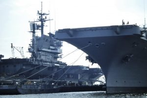 After another good stop in an interesting and pleasant place, we motored up along the Elizabeth River, the heart of the biggest naval base in the world here in Norfolk Harbour. We passed by scores of naval ships and shipyards before crossing the outer reaches of Chesapeake Bay. We could see the open sea under the enormous Chesapeake Bay bridge to the east, but before sailing further up the Chesapeake we took a turn left into the York River and the York River Yacht Haven in Sarah
 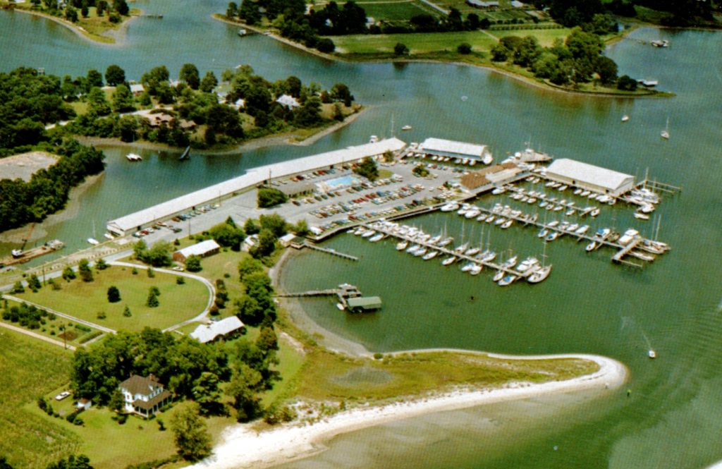 Creek.
The York River was where the American Revolution was effectively ended by Cornwallis’ surrender to Washington. Here we were intending to haul Cera out for a clean and antifoul repainting of her hull, well overdue. We spent a peaceful couple of nights anchored in the creek off the marina before being guided up a shallow backwater to the Travelift.
The antifouling we had applied on the beach in Costa Rica, being Mexican, had been cheap but pretty ineffective, and we were dragging a lot of weed. The marina was a good but not untypical example of its kind on the east coast, all of which go to all sorts of trouble to attract visiting boats. The clean yard had its own toilets and hot showers. We were welcome to use the marina swimming pool, and we used the marina’s car to take our gas bottle to be filled. Mind you, this doesn’t all come free, and by preference we practically always found somewhere good to anchor – a pleasant change from west coast hassles.
We were also picked up by a very pleasant young couple whom we had met while tied up at the waterside in Norfolk. They drove us through Yorktown and on to Williamsburg before putting on a great barbeque for us at their house overlooking the York River.
And so, finally, and well primed by James Michener’s huge novel about the area, we sailed out of the creek and round into the enormous estuary system of Chesapeake Bay. We planned to spend the rest of the summer in the bay, the upper reaches of which would be as far north as we then expected to sail on the US east coast.
In the Chesapeake
Reaching Chesapeake Bay was exciting. Some 12 years before, on a working trip, we had driven over the huge bridge which crosses the Bay near its northern tip, and said, “one day, maybe, we’ll sail down there ….”
By the time we had reached Norfolk Virginia, August was nearly over. However, we had been told that autumn was the time for the Chesapeake: it was too hot and buggy earlier in the summer. And we had hopes of the Indian Summer enjoyed in these parts most years – balmy days and evenings. This was just what we did get as it turned out, all the way through to the end of October, by when it was indeed getting cool as we tracked back through Norfolk on our way south.
Sailing in the Chesapeake can sometimes be a frustrating business because airs during the season are mostly light, and the water swiftly tidal. The surrounding countryside is flat, so that we couldn’t see much of it as we sailed by, because shoals extend miles off the shore. Enjoyment of the Bay starts once the anchor is down (usually for us with the keel sweeping the bottom!). There are quiet creeks and charming towns galore, with the local people showing us unmatched hospitality wherever we went.
 After leaving the York River we sailed up the western shores of the Chesapeake, which throughout its southern part is fed by rivers and inlets rich with historical reminders of the original European settlement of the New World. Our first stop after what was a great sail was in Indian Creek. We took a dinghy trip to explore, and were hailed by a man ashore, who invited us in for drinks and a pleasant chat with him and his wife.
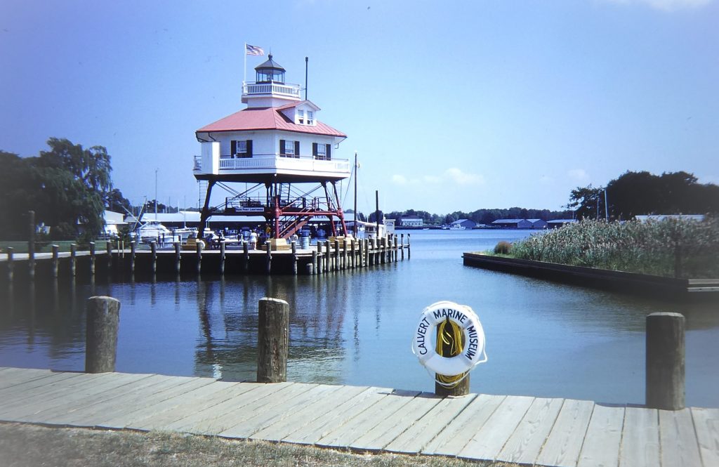
Yet more pleasant sailing took us up to Mill Creek, by Solomons Island at the mouth of the Patuxent River where it meets Chesapeake Bay. Again we were hailed from a house ashore and invited in for drinks and then dinner. The next day they took us for a tour of Solomons Island, which is a boating centre popular even by the standards of the bay. The Calvert Maritime Museum was small but exceptionally well set out and interesting, focusing particularly on the bay working boats and watermen. An old "screwpile" lighthouse sat outside. We met up a group of local yachties whom we had come across on the water, and enjoyed a pot-luck dinner of crabs and bluefish with them.
Groping over the shoals that extend off the western shores, we slowly worked our way up to Annapolis, one of America’s (and, indeed, the world’s) sailing centres. It lies where the Severn River meets Chesapeake Bay and occupies three peninsulas with several miles of waterfront.
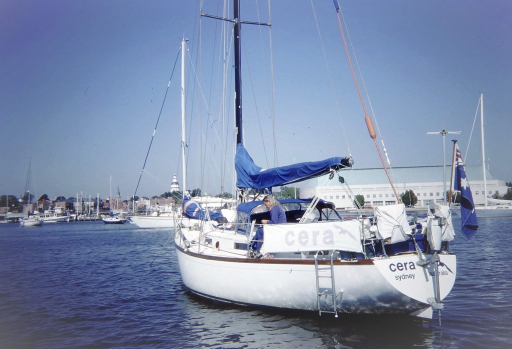
The little harbour in the charming town of Annapolis provides excellent anchorage, although when we arrived - on the first evening of the Labor Day weekend - it was packed solid. We still managed to find a space, and there was more room after the holiday. We were to stay there for quite a while, to do some more explorations and visits by land.
The first exercise was simply to go ashore and tour the Capitol building, or Maryland State House. This is the oldest state house still in legislative use and was designated a National Historic Landmark in 1960.
The town has a lovely array of 18th century homes and a tangle of narrow streets with brick sidewalks. The downtown area is a National 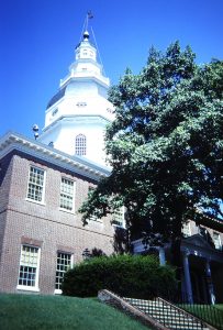 Historic District. Annapolis was first settled in in 1649 and in 1694 it was the provincial capital of Maryland. Between November 1783 and August 1784 it was even the capital of the United States. A big dock on the waterfront played a vital role during the prosperous days when tobacco was king, and was for us a good place to bring the dinghy ashore. We had become friendly with the Capitol building tour guide and another lady who had a charter company. At different times they both invited us ashore for dinner as well as sharing drinks aboard over many interesting conversations.
We were very pleased to see Shenanigan sail in, David and Brooke having also slowly moved up the Bay. With them we took a trip into Washington DC. They had borrowed a car, but it wouldn't start that cool morning so we took the very convenient Metro.
 We had two tourist targets for the day: the White House and the Smithsonian National Air and Space Museum. The White House visit was a bit disappointing, with us facing a long queue before being whizzed through the ceremonial rooms only. We had lunch in Chinatown at a Szechuan restaurant supposedly patronised by Ronald Reagan and
 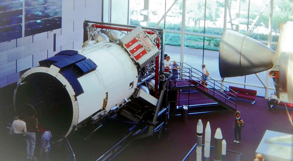 Alan Alda before walking down to the Smithsonian. The Air and Space Museum was a huge, fascinating collection of everything from model aircraft to Lindberg's plane and a DC3. There is a large display centred on the Harrier vertical take-off jet fighter, but no mention of the fact that it was originally designed and built by the British, only that it was “developed” in the US of A.
We had separated from David and Brooke for the day's sightseeing, but met up at a nearby Holiday Inn in the late afternoon for drinks and ride back in the Metro. Ticking off another Annapolis visit, the next day we toured the immense US Naval Academy building and museum.
Our little group of six voyaging sailors who were first together in Panama was again completed when Al and Sharon sailed in with Kealoha, so it was time for more welcome drinks together.
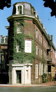
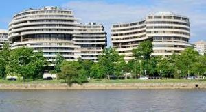 Back into Washington DC with commuters in the Metro, we visited the premises of the highly influential Insurance Institute for Highway Safety in their headquarters at the Watergate building. The director, Dr Bill Haddon, a towering figure and major international influence over the emergence of accident studies as a scientific endeavour, had visited my research group in Sydney in 1972, and during a subsequent conference trip to the US he had offered me a job at the Institute. I took the offer seriously and even lightly researched houses in Maryland, but was happy to decide to remain where I was. We were received well at the Institute, and entertained by Haddon's leading researchers and by Ben Kelley, head of its public affairs.
Ben and Ziba lived near Annapolis, and came out to the boat the following day for drinks followed by a gourmet dinner and terrific jazz at the Maryland Inn in the town.
For the third time we joined the commuters back into Washington. We walked around the massive, grey classical-style government buildings and then to the museum of the day, the National Museum of American History. This held wonderful displays of machinery of all kinds, and we were given an excellent talk and demonstration of ancient keyboard instruments.
On our return we found two messages in the dinghy: one to contact John and Clydie Connolly, who had been in town for three weeks, and the other from the harbourmaster passing on a request from my mother in England to call her. She was worried about reports of a hurricane in the region, Hurricane Diana, which was around Cape Hatteras and moving north. The next morning I discovered that I had left my wallet in the phone booth I had used to call her. Panic stations. At the harbourmaster's office I was told by a hesitant and edgy coloured man that several travellers' cheques had been handed in, but no other contents from the wallet. He seemed to know more that he should but there was nothing I could do but report the loss or theft to the local police and Amex. We had also to set about replacing our passports.
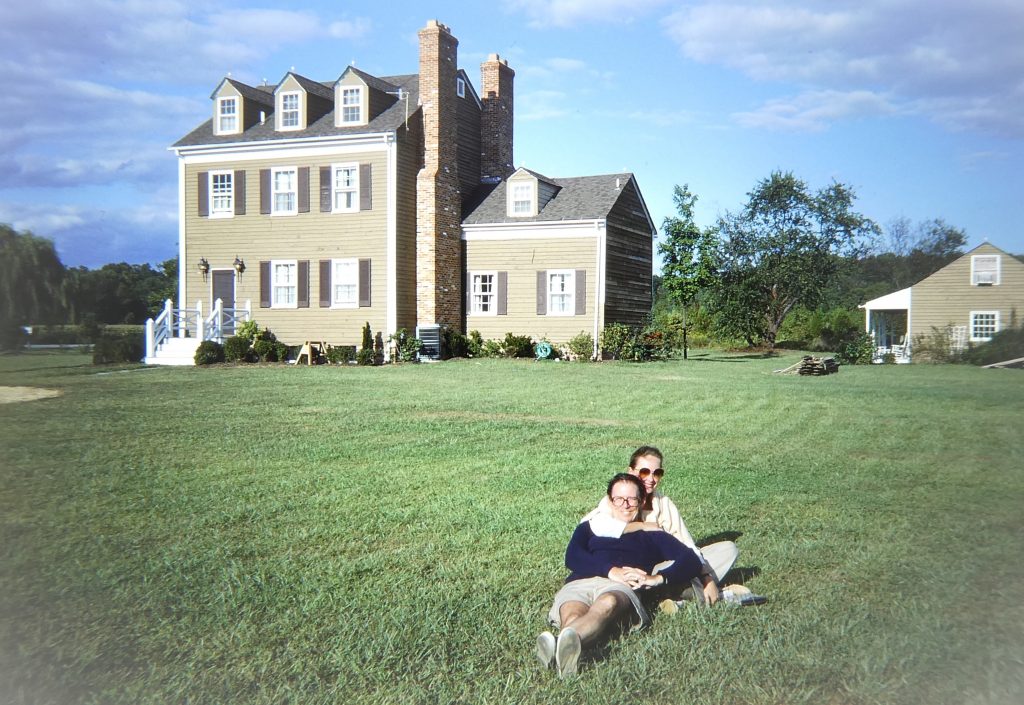 We were picked up by Ben and Ziba for a weekend at their lovely old house in five acres of grassy grounds near the head of the Patuxent River. We walked through glorious countryside and visited the village of Lower Marlboro, originally a tobacco port town on the Patuxent River. Lower Marlboro still has numerous homes dating back to the early 19th century.
Ben, a musician of professional standard, played for us in the afternoon on his harpsichord. This had been built especially for him by craftsmen in Annapolis, a superb instrument both to see and to hear.
By a fortunate happenstance an Australian sailor friend, Jolyon Bone, was visiting Annapolis and got in contact. He was a friend of a couple in the British Embassy in Washington, and after all of us had a pleasant afternoon and evening in the beautifully restored Georgetown district of the city we stayed the night with them. They gave us a lift to the Australian Embassy, where (perhaps with their help) we got a better reception than I feared and filled out lots of forms. We took the opportunity for another sightsee, and  took the Metro to the Capitol. We took the mandatory tour there and listened to some desultory debating in both the Congress and Senate chambers. Back to Annapolis by bus.
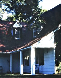
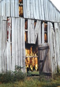 We had to wait in the harbour while new passports were being arranged, but enjoyed beautiful weather. Stacks more boats came into anchor, mostly in American style, in spaces too small, on rope, drifting about in the wind and complaining about "poor holding". Ben and Ziba had us out for another lovely weekend, with lots more music, walks and visits.
With their friends Bill and Nita Nelson we drove out to Sotterly house and plantation, a lovely old place with a view down to the Patuxent and over to Solomons Island. Sheep were grazing by the front porch and the old tobacco farm was in the fields. We then all wandered along a beach under the crumbling, sandy Calvert cliffs. 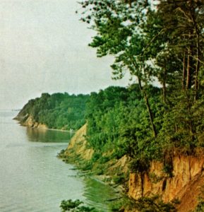 These extend over 30 miles and rise to 120 feet above the sea in some areas. They are stacked with fossils, some 12 to 13 million years old.
We'd had a wonderful time over our three weeks in Annapolis, seeing and doings lots of interesting things, making many new friends and cementing old friendships. But in late September it was time to motor out of the harbour after retrieving our very muddy and weedy ground tackle. In calm conditions we passed under the motorway Bay Bridge, turned into the Patapsco River lined with shipping docks and into the Baltimore Inner Harbour deep in the heart of the city. There wasn't a lot of space permitted to anchor, but we managed it and were soon joined by David and Brooke for an evening beer. Baltimore is a major port and city, where incredible efforts have been made to rehabilitate the once run down inner harbour. We were anchored in the shadow of the city’s skyscrapers, hard by the tourist attractions in Baltimore’s answer to Sydney’s Circular Quay but without the ferries.
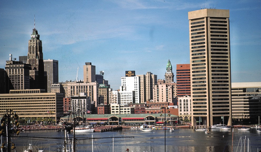
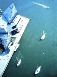 The next day we were picked up by Ben and Ziba and driven to Johns Hopkins University Hospital, nominally to hear Ben lecturing Professor Susan Baker's Master of Public Health students. This turned into a seminar including us all, with much interest in the airbag debate. We lunched in the harbour overlooking the sailing frigate "US Constellation", and with Ben went to see Peter Schaffer's "fantasia" based on Mozart's life and relationship with Salieri.
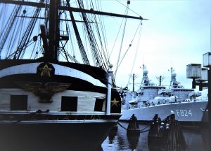 We toured the sights of Baltimore including the Constellation, which was the first warship commissioned by the US Navy in 1797. It is said to be the oldest ship in the world continuously afloat. We shopped at the large old Lexington Market, with an exceptional range of produce and excellent meat. Almost inevitably Kealoha soon sailed in, and with Al and Sharon we wandered over a pair of visiting Dutch frigates tied up on the other side of the harbour. Sue and Tim Baker joined us for dinner aboard, and left a car for us to use. We were also visited on the boat by a group from the IIHS, and we had beers and an Italian dinner with them ashore. Every day there was plenty to watch in this busy harbour.
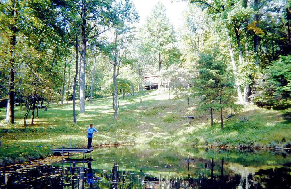
In Sue Baker's old Dodge Dart we took a drive out to their cabin in the Catoctin mountains, passing through pretty villages and rolling farm scenery. The cabin was tucked away north of Thurmont, quite near Camp David. We had a lovely night's stop in lush countryside, burning wood in their stove to keep warm. There were deer in their garden and fresh water from a stream. We did lots of shopping during the trip, including plenty of kerosene for the ship's heater - autumn was here and winter would soon be upon us!
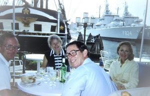
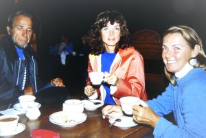
Back in Baltimore there was still lots more to see and do. We liked the city: there were areas that did look very poor and run down, and where Sue had urged us not to stop, but the then Mayor Schaefer was doing a splendid job of revitalising these parts of the city. One initiative was to offer publicly owned houses - mostly in terraces - for sale to private buyers at one dollar each, on the condition that the new owner would renovate them.

After 11 days we hauled up the anchor from oily mud, pulled out of Baltimore and started heading south from the big Bay Bridge. The plan of many months previously was that, if possible, we would continue up the ICW to New York and maybe as far as Maine. But the time we had already spent on the east coast obviously made that plan impossible. Over many months to come, American friends would say, "you mean you sailed all the way from Australia and didn't go up to Maine?"
We made a return stop at Annapolis to pick up our mail and some second-hand charts of the Bahamas. We had a look round the huge US Boat Show, which took up most of the Annapolis waterfront, and spent a pleasant evening with John and Clydie Connolly and their family. They were renting an apartment in the town.
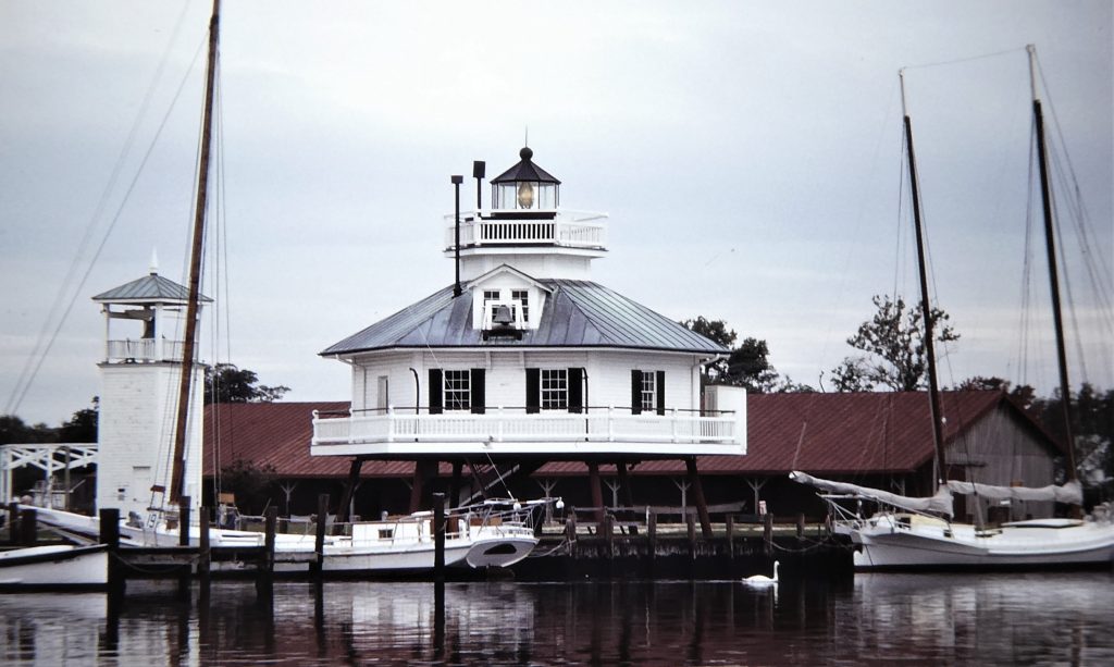 We then sailed over to the other side of the bay and meandered south down the Chesapeake by the eastern shore, “The Shore” made famous by Michener’s novel about the area.
There are some utterly enchanting tiny towns here. Our first visit was to charming St Michaels, which has a superb maritime museum centred on the history of the amazing variety of sailing vessels which have been used on the Bay. We relished a quiet and peaceful day and night, quite a change from recent weeks!
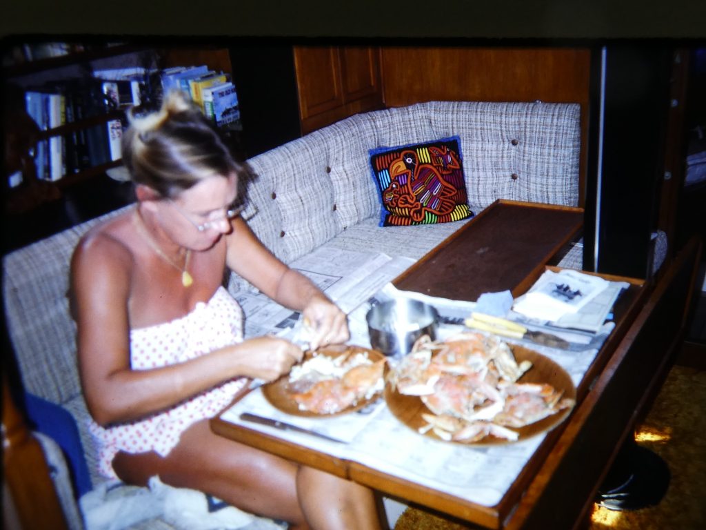
By this time Norma, the ever-enthusiastic fish hunter, was well into the art of "chicken-necking". This entails fixing the neck or some other part of a chicken to the end of a hand-held line, and dropping it to the bottom. In a short time this would be grabbed by a fierce crab, which was then carefully put in a bucket and the chicken returned to the water. She caught dozens this way at many anchorages, but preparing and boiling them took a lot of work! They were quite small, and it took nine 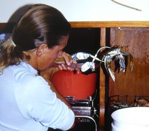 of them made a meal for two.
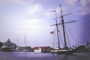
 In the anchorage we were joined by the "Pride of Baltimore", a well travelled replica of a “Baltimore clipper” (actually a schooner of the type used as privateers against the English) which we had previously seen in San Francisco. We heard later that she was caught in a heavy squall and sunk off Puerto Rico in 1986. Also in the area was a replica of the “Dove”, a square-rigged merchantman which brought the first British settlers to the Maryland shores.

 Birds were flying all around us, and there were flocks of Canada geese gathering by evening. Mute swans could be fed by hand, and black ducks and mallards quacked their way round the anchored yachts. Many skipjacks
 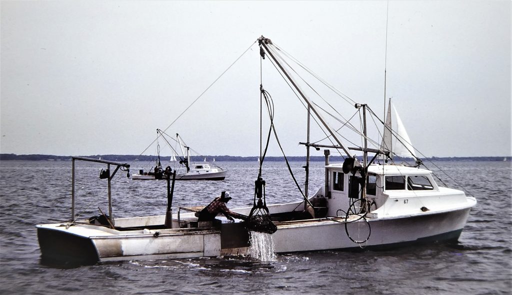 were oyster dredging, using pincer-like tongs. Some were even under sail, and other “character” vessels were all around.
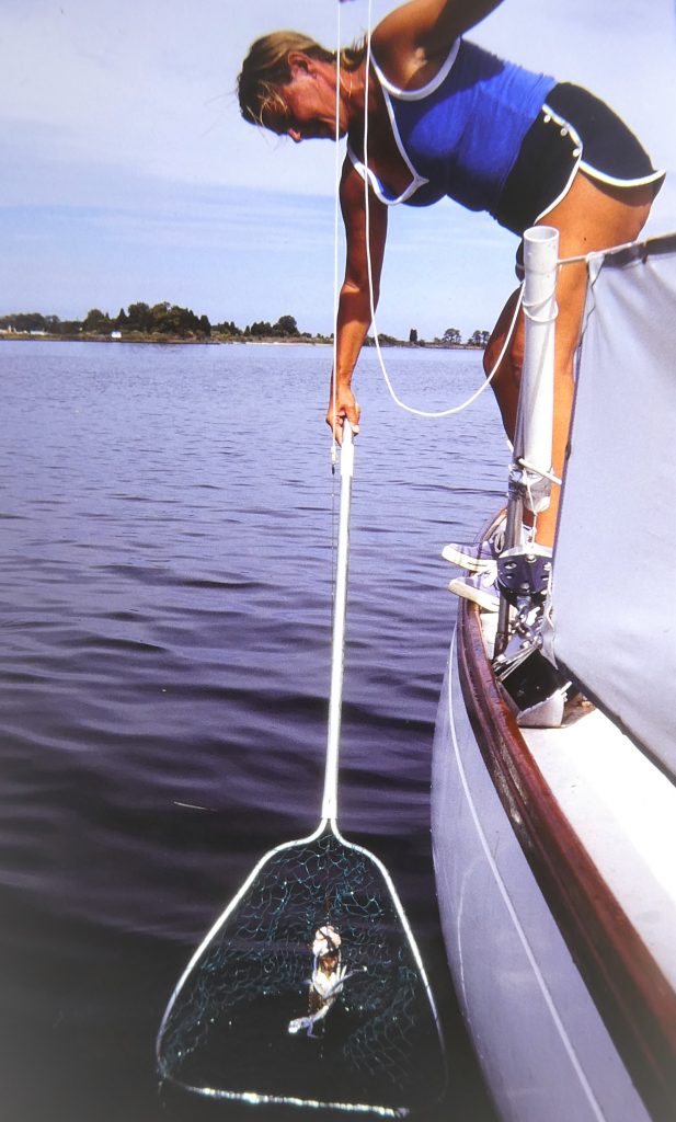 It was a long way round through shoaling water to the next stop, Dun Cove, and we had to pull a local yacht off the mud on the way. The skipper came over with a bottle of wine after we both anchored. It was a beautiful, calm evening in rural surrounds, generally cattle country with
 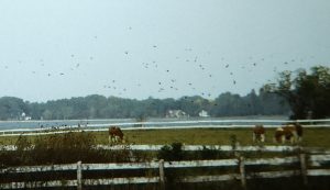 green grass, fat cows and white fences. Norma continued crabbing, using the head of a blackfish we had caught while sailing here. It was windy at night, as hurricane Josephine was about 230 miles off Cape Hatteras, due east of us.
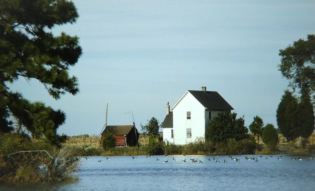 When the wind eased we gently sailed down to the Tred Avon River and yet another lovely east side village, Oxford, where we anchored in Town Creek, actually a muddy bay across from the marinas on the town side. We found Oxford a sleepy place, but it was once a port of entry in earlier trading days.
Once again we were welcomed ashore by a couple building a new house on the bay side. We dined in their house, and they took us for a trip to Easton, another charming village with white wooden houses of all styles, quaint streets and a Safeways where we could do some serious provisioning. We drove back through trees of all fall colours and enjoyed a calm evening.

We had very much enjoyed our time along the eastern shores of the Chesapeake, but we finally pulled away out of the Choptank River and across to the western side of the bay. We called in again to Solomons. Ashore, we revisited the museum and were welcomed by an old boatman with two remaining teeth, who called us "real watermen and seamen!" Thence, after enjoying yet more hospitality offered by people ashore and calling into two more Chesapeake creeks, we sailed across the entrance to the great Chesapeake Bay and back to Norfolk, Virginia. We had a look at the Waterside visitors’ wharf we had used before but it was full, so we went across to the Portsmouth side and anchored again off the Norfolk Naval Hospital.
Portsmouth is a beautifully restored old town, and on the evening before leaving we much enjoyed a splendid all-Mozart chamber music concert at the local community arts centre.
The Intracoastal Waterway
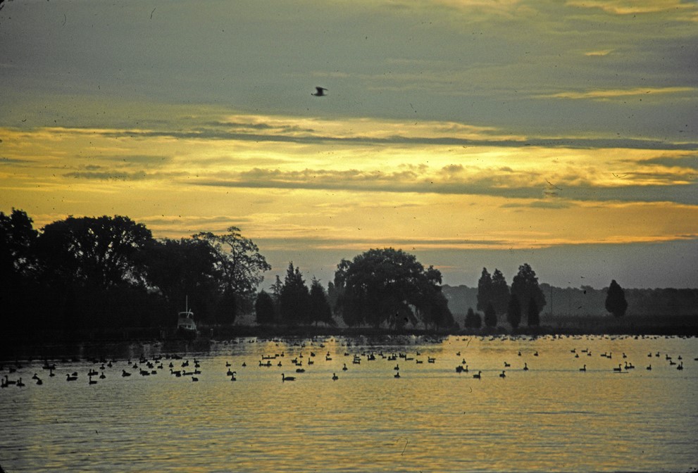 To our great pleasure the Canada geese arrived in their millions before we left the Chesapeake, no doubt - like us - looking rather anxiously over their shoulders at the cold weather they were fleeing. So, following their timely example, we set our sights south, and plunged back into the Intracoastal Waterway (ICW) for the 1,000+ statute mile trip that would end down in Florida.
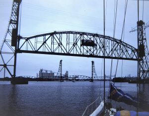
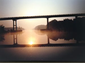 The entire Intracoastal Waterway extends pretty much from Maine to Mexico, but the stretch we joined at Norfolk, Virginia en route to the south, is the best known and most used. The waterway is marked by a post and sign at every mile. The Mile Zero marker was right by our anchorage off the hospital in the Elizabeth River, and after passing under the Portsmouth bridges we were bound for mile 1,020 or thereabouts, way down at West Palm Beach, Florida.
We chose to take the ICW south for two reasons: first, it had been recommended by cruising friends as an experience not to be missed, which we were certainly able to confirm; and, second, an offshore winter passage south against the Gulf Stream would be very tough and lacked any appeal.
The ICW is an amazing mixture of open sounds, rivers, bays, creeks, swamps and man-made canals. We even poked out to sea a few times, as we crossed major river inlets, before groping back into the waterway’s shallow security. We knew our draft (two metres) would be a problem, and indeed it was, to some extent. The ICW is 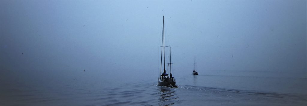 supposed to be dredged to 12 feet, but it’s impossible for the US Army’s Corps of Engineers to keep up with the shoaling, especially where it crosses inlets and rivers or traverses miles of shallow open sound. So we were often in an anxious seven feet or so, but we only hit the bottom in the marked channel twice. The first time we went hard aground, and had to launch the dinghy to sound for the deepest water before employing our wriggle method for getting off. The boat is screwed from side to side and the keel burrows its way through the mud. The second time, I relaxed concentration for a crucial second and we bounced off a sand bank towards which we had been pushed by a two-knot tide suddenly emerging from a side inlet. We were several times on the bottom (or as near as makes no difference) in various anchorages, most of which were in shallow creeks, but the bottom was all mud, undamaging, and of glue-like holding power.
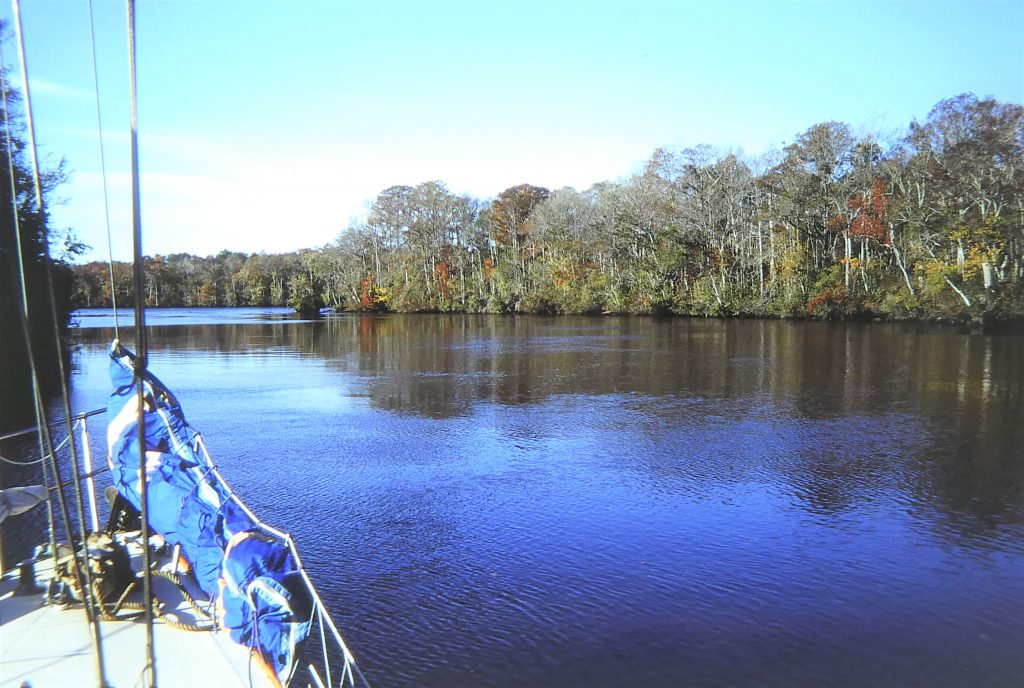
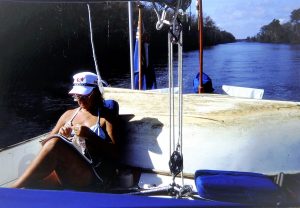 The marked channels are frequently narrow, and some of the big tugs and barges take a fair slice of the width. Currents are constantly a challenge and keeping close attention to navigational leading marks is a lesson soon learnt when dealing with cross-currents.
Apart from the depths, there were a couple of other aspects of ICW travel which had worried us, but turned out to be minor problems. First, some had led us to believe that the big motor yachts would roll us dizzy with their enormous wakes. They do kick up a big wake at their cruising speed, and this can possibly cause considerable damage to yachts and even personal injury as they pass, necessarily closely. However, thanks to the litigious nature of American jurisprudence, they are legally liable for any such damage, and this is easily reported by radio. The result is that almost without exception they did slow right down as they passed by in either direction, and most gave us a friendly wave.
And then there are the low bridges, scores of them. Again, very little problem. A few are limited to opening half-hourly, or stay closed during rush hour, but all these are listed in the available waterway guides. All the others open on request, either by a couple of blasts on the horn or by calling the friendly and helpful operators on the VHF, whose answer would typically be: “Sure, cap; keep her coming, and we’ll have her open when you get here”.
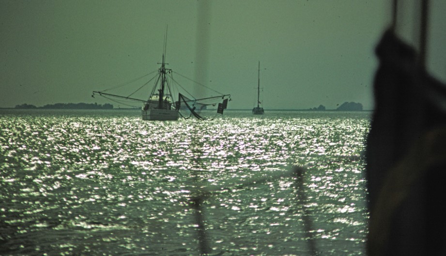 We motored most of the whole way down, but sailed when we could, including some good sails across the South Carolina sounds. It is certainly possible for the very determined sailor to sail more than we did, and our Australian friend Julia Hazel, a single-handed sailor with no engine, did manage to sail the whole way, a staggering achievement.
The winds are very fluky, as the ICW winds its way from creek to creek, and – more importantly from our point of view – anchorages of sufficient depth for our draft were often widely enough spaced apart – 40 to 50 miles or so – to make it essential to keep up a good average speed to ensure that the day’s destination could be reached during the short winter’s day.
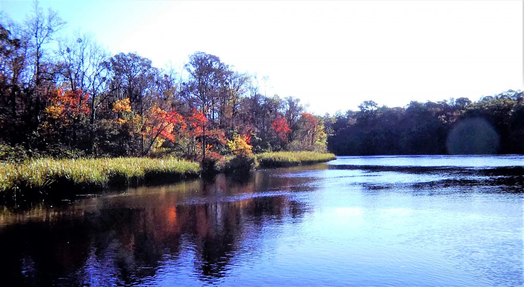 Many of the anchorages we found to be enchanting, and most were quiet, as the majority of the fall rush to the south had passed (we were late in the season, as usual!). They varied from marsh-fringed open creeks to narrow tree-lined inlets, and even once to a dredged canal leading to a disused cement works! At many we became new friends with others in the unofficial convoy south, and caught up again with friends made over many previous months in other countries, including the regular company of Al and Sharon in Kealoha.
Often we anchored off one of the many small, interesting towns which front the ICW. We revisited Beaufort, in North Carolina, one of those places which, as we had found before, make a deliberate effort to attract yachts. This time we tied up at the city dock, with some difficulty in the wind and cross-current. Bob Campbell came to pick us up and take us back to Chapel Hill, where we were to spend another wonderful week with them. We visited Fran’s family farm, and at the University of South Carolina we went to another lovely high-quality concert of baroque music on original instruments. We took the Trailways bus back to the boat.
We again used the maritime museum’s facility for holding mail and messages, and borrowed their car for some heavy provisioning before leaving the dock and returning to our anchorage next to the sandy island with the wild horses. For the following several days, we moved south from anchorage to anchorage, occasionally spending a night in a marina, with lots of engine maintenance because of all the motoring. The weather was getting pretty gloomy by this time, cooling down and often 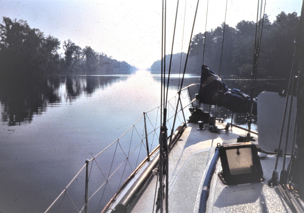 wet and windy. The leaves were falling from the trees, and on the morning of November 17, at mile 383, we emerged in the morning to find ice on the
 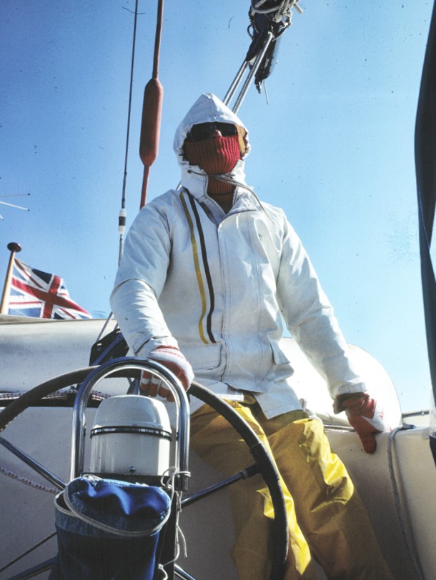 foredeck for the first time. We wrapped up with balaclava helmets, ski gloves, several sweaters under oilies, complained as we slipped on the ice, and enjoyed the cosy heat of the saloon in the quiet evenings.
After miles and miles of flat open – yet picturesque – swampland we came to Charleston, South Carolina (mile 469), and anchored just outside the municipal marina. Dating back to 1670 and referred to in the tourist literature as a “living museum of early America”, this is the biggest city on the waterway in these parts, a lovely place with a people and a lifestyle all of its own: measured and gracious, in keeping with the many superbly maintained mansions. In the old downtown section there are rows of charming pastel houses lining cobblestone and brick streets. These dwellings still exist simply because, following the Civil War, people in this major city of the Old South were so impoverished they couldn’t afford to “redevelop” by pulling anything down.
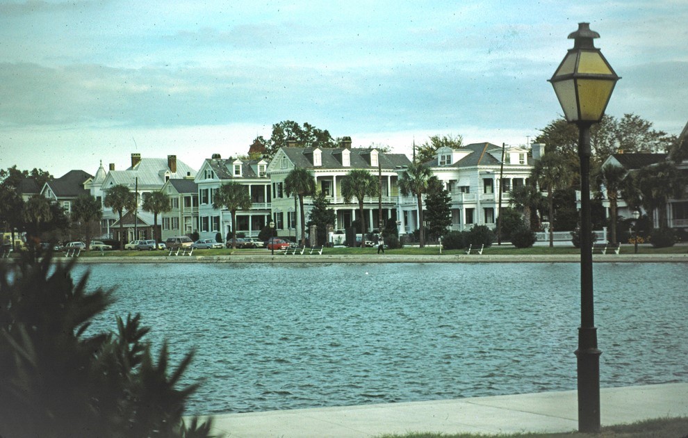 Over the next several days we thoroughly explored this charming and historically very significant city. It has an excellent museum with a good explanatory film show, impressive public buildings, flower gardens and churches topped with spires. The high number of churches brings about the city’s nickname, the “Holy City”. In stark contrast to what this implies, another impressive building was once the slave market.
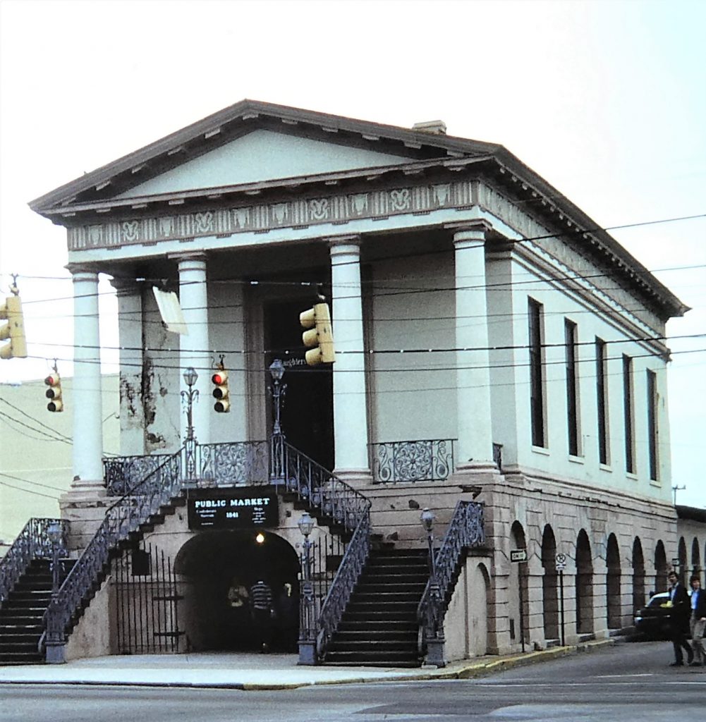 But it was mostly very wet and very windy in the anchorage, the result of the first serious winter storms, and a German boat dragged its (Bruce) anchor and upset our own well-set anchor before getting tangled with a catamaran’s complex anchor bridle.
The next major stop was at another very attractive and historic southern town, Beaufort, South Carolina. Its name is pronounced Bew-fort, not to be confused with Beaufort (Boe-fort) that we had twice visited in North Carolina. We fuelled up in a marina and pulled into a berth with – again – some difficulty across a fast-running spring tide. Ashore, lines of graceful old homes overlook the peaceful river. In the cemetery we learnt that some gravestones were used as operating tables in the Civil War.
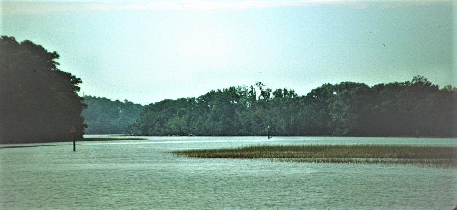 Across the lowlands of Georgia we wound our way through yet more miles of open marshland, totally uninhabited by human life, but rich in wild bird and animal life, including deer which we twice saw swimming across the waterway in front of us.
 Small towns reappeared once we got to Florida, the first being the active fishing centre of Fernandino Beach (mile 717), where modern shrimping methods were developed. We were able to use the “welcome station” at the city dock, and at last could order in some engine parts (for the badly leaking water pump) from a fishing-boat supplies store. Despite the big chimneys behind the town (a wood-chip and paper mill) this was an unexpectedly pleasant working town, with music playing from speakers in its pretty centre. Old wooden houses with conical and square turrets lay along leafy streets. The town centre’s little supermarket was however terrible, as usual!
White pelicans were in abundance, and along the next stretch of waterway there were masses of waterbirds including waders, cormorants, herons and egrets.
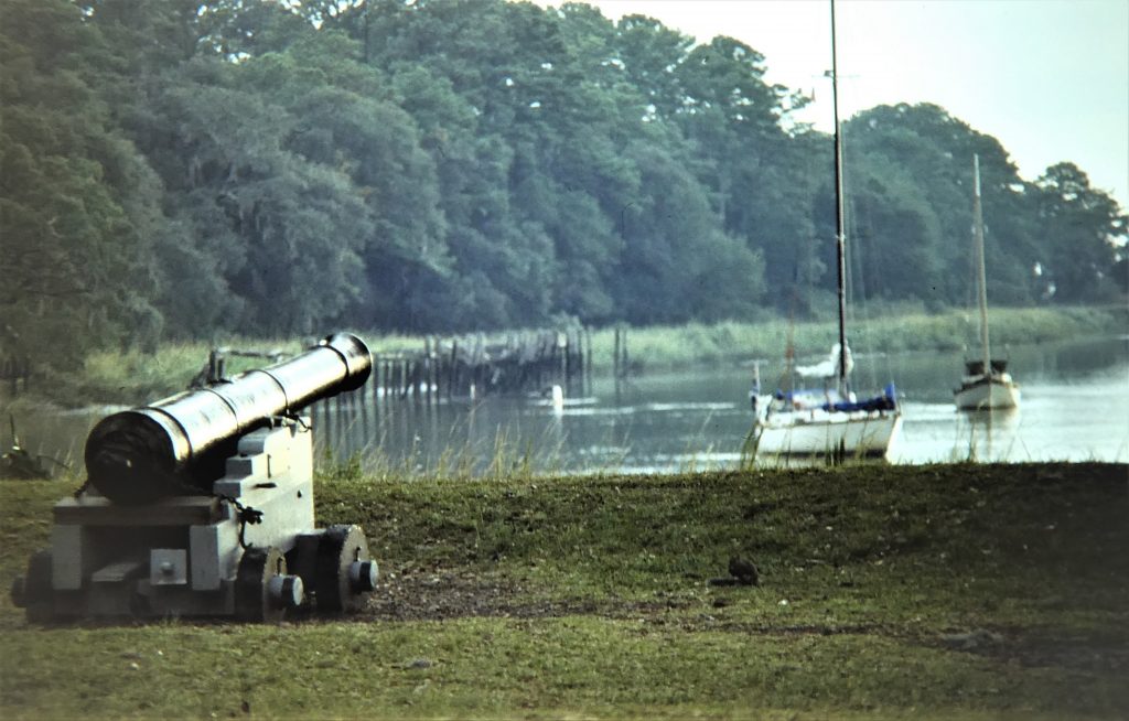
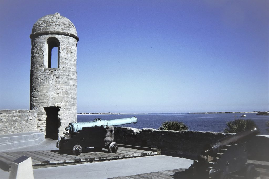 The stop at St Augustine (mile 778) was a busy one. The city was at various times under Spanish and British control before becoming part of the United States. We walked to the splendid fort of Castillo de San Marcos, which was built by the Spanish in 1695 to help defend Florida from the English. It withstood two sieges. The old part of town featured reconstructed trade buildings and dwelling houses. In the evening we returned to the fort for a demonstration and competition among musketeers in period costume, English and
 Scottish regiments. After that, we repaired to a small restaurant for a concert of Renaissance music by a local early music group dressed in period clothes. Back again to the fort we watched the “Illumination Ceremony”, based on a precautionary military routine practised by English garrisons of the 18th century whereby every evening the town gates were locked, guards posted and citizens carried lights. We joined a procession of locals bearing candles which culminated in Christmas carols in the city plaza.
It remained cool and sometimes very misty as we continued to work further south. We anchored in the channel leading to the dismal cement factory just north of Flagler Beach, passing the sight of scattered skyscrapers in Daytona Beach in the distance.
We came to a good and busy stop at New Smyrna Beach, mile 846. In warming, humid weather we again used the Amex office that we had chosen as a mail drop, and were very pleased to pick up my new passport. We stocked up with more money and plenty of provisions. We stayed there for a while, catching up with correspondence and mailing Christmas cards. We were now well into December.
 Thirty miles further south we came to Titusville, with a tiny man-made harbour where we gathered with several other yachty friends for a Mexican meal ashore. There was nothing much in the little town, but the main reason for the stop here was to visit the Kennedy Space Centre at Cape Canaveral, close by. This was a highly interesting and instructive experience.
 We watched a comprehensive presentation of the centre’s history and background, and took a bus tour of the enormous area, including the National Wildlife Refuge. Here we saw several alligators, prevalent in the creeks and waterways around here. We went to the aircrew training centre (which brought memories of my time in the RAF training aircrew in aviation medicine). We visited the lunar landing module and a mock-up of the landing control centre, and were then taken out to the immense Vehicle Assembly Building. We saw rockets on huge transporters on their way to launch sites and walked around the Saturn V moon rocket. All in all, a memorable visit.
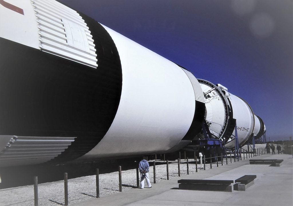
By the time we had reached southern Florida it was back to shirtsleeves, and on the day Norma went shelling on the ocean beach just across the sand dunes from one of our last waterway anchorages we felt we were back to “real” cruising.
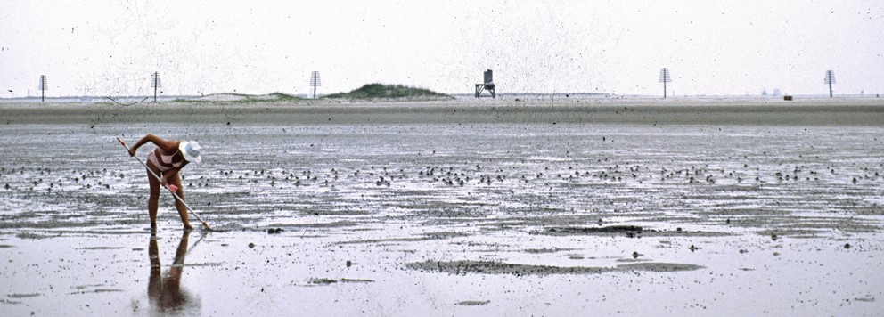 In our final step in our transit of the ICW we passed through a long straight cut – fringed by waterfront villas with boats on private docks – and dropped anchor at the very head of Lake Worth, North Palm Beach, Florida, and part of the Port of Palm Beach.
At the rate of 30-50 miles a day, and covering a total of 1014 waterway miles, we had sailed south from cold winter into a temperate autumn.
 After taking the dinghy ashore we walked through the parked Rolls Royce limousines and Cadillacs to what has to be one of the world’s ritziest supermarkets to do some final provisioning for our short passage south-east to Nassau, in the Bahamas. We got the bikes out for some exploring, while waiting in otherwise perfect weather for a shift in the persistent easterly wind.
During this period our six-month visa for the US expired and we never officially left, or "cleared out"!
On 19 December 1984 we sailed out from West Palm Beach and along its long entrance channel out to sea, with a course south-east across the Gulf Stream. Our initial destination was to be Nassau, the capital of the Bahamas, which lies on the island of New Providence in the central group.
Winter in the Bahamas
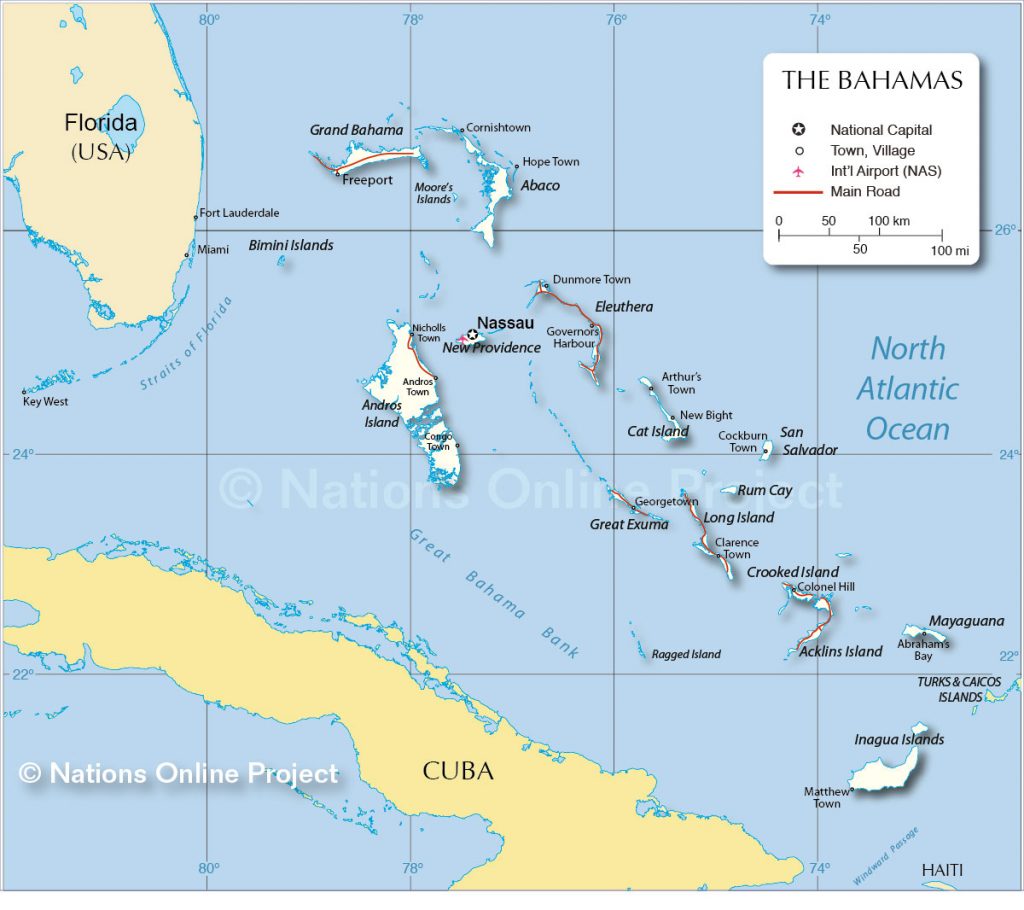
We punched south-east across the lumpy Gulf Stream in generally unfavourable winds and sailed into the Bahamas through the NW Providence Channel, a deep passage between the shallow Little and Great Bahama Banks, and turned south round the Berry Islands down to Nassau, arriving after two nights at sea. We were then to spend over four months in the Bahamas for the northern hemisphere winter of 1984-85, which we were later to think of as among the happiest days of our lives.
To start with we sailed around Nassau Harbour looking for a suitable anchorage or possibly a marina berth. Anchorage may be found almost anywhere in the harbour, which lies between the town and a long off-lying tourist island (once called Hog Island, but by then Paradise Island, viewed as a more tourist-friendly name). The main problem was to find somewhere reasonably clear of the frenetic maritime activity. Speedboats, tourist launches, work boats, cruise ships and scheduled amphibian aircraft using the water as a runway were all competing for space.
We finally anchored off Paradise Island near the Club Med resort, on the opposite side of the harbour from the town centre. A couple of days later we moved away from Club Med and its intolerably incessant disco music.
It’s hard to come to terms with the sheer size of the area covered by the archipelago of the Bahamas, given to be about 5,400 square miles. Averaging 200 miles in width, the island groups extend about 700 miles south-east from just off Florida to near Haiti. The number of islands depends a bit on how you define them, but by an 1864 count there were 29 of substantial size, 661 cays (from the Arawak cairi, small island), and 2,387 rocks. If the water level was raised 10 metres most of them would disappear; if it was lowered the same amount, a vast sand plateau would be exposed, cut by a few deep, wide sounds. Ponce de Leon, when he sailed through here in 1513, called the region Bahamar, shallow water.
The Bahamas were first discovered by Christopher Columbus, who made his first landfall on the eastern-most island now named El Salvador. They went through turbulent times, first as the Spanish displaced the indigenous people and enslaved many, then became a base for the pirates and boucaniers who were thrown out by the first British Governor of the colonial Bahamas. After the War of Independence the islands were settled by Loyalists, and in 1973 they finally became independent after 300 years as a British colony.
The beauty of the Bahamas lies in the incredible transparency and reflected colours of the water in which they lie. Sailing requires careful and steady attention to navigation and the depth-sounder, as the sand banks are rarely deep under the yacht and changes in depth are often hard to discern. Coral shelves and its knobbly heads are all over the place. But the clarity of the water makes eyeball navigation relatively easy for those who have learnt the skill, such as those of us who have sailed the South Pacific. We observed that American yachties did find it hard at times, and more than once we helped them get unstuck without damage.
So, on 19 December 1984 we sailed from West Palm Beach along its long entrance channel out to sea and then south-east across the Gulf Stream. Our initial destination was Nassau, the capital of the Bahamas, which lies on the island of New Providence in the central group.

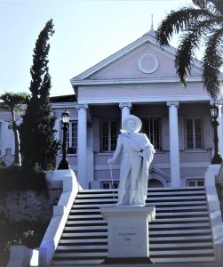
Soon after anchoring we took the dinghy over to the town for a first look around and to pick up some mail from the post office. At first sight we found Nassau to be a rather unattractive place, with plush new hotels and casinos mixing uncomfortably with decaying remnants of the country’s heritage as a British colony. We thought it was all a bit like a bigger version of Belize City: run-down "colonial" hotels, once-grand plazas and public buildings, cheerful coloured local people carrying portable radios. It was seething with tourists from cruise ships and the hotels, but off the tourist beat we did not find the local supermarkets as expensive as we had been warned.
 From the moment we arrived we joined the social merry-go-round that was to be a feature of our happy times cruising among this lovely island group. Hardly a day would go by without catching up with old sailing friends and making new ones, with regular drinks and
meals on our boat and countless others. Back in the USA we had promised an English family that we would join them in the Bahamas for Christmas, and we had a great Christmas dinner with them on their yacht in the Hurricane Hole marina on Paradise Island, just along the way from us by dinghy. A few days later our little group of Australian yachties took ourselves to a Bahamian restaurant for turtle steaks, very good local food and not expensive. We watched the fireworks at the casino. The skipper of one of the yachts was, amazingly, one of the crew who had laid up the fibreglass hull of our own Cera nearly ten years before, and Norma had helped make sails for his self-built ketch.
From the research we had done we already knew that we would be spending most of our time in the Exuma Cays, one of the several island groups in the Bahamas. As shown in the map above, this necklace of gorgeous little islets, cays and sandbanks sweeps in an almost unbroken blue chain down from near Nassau to the Great and Little Exuma Islands about 90 miles to the south. The locals claim there are 365 cays in the chain. While sailing through the Exumas we were to find some of the most beautiful beaches, anchorages and harbours in the world.
At the time of our winter here, most of the islands were uninhabited, and in the few scattered little settlements lived cheerful and friendly people, fine seamen and fishermen. However, a handful of the islands were owned by rich non-Bahamians, and many of these were being used as transit points for the smuggling of drugs into the States. Like most cruisers new to the Bahamas we did wonder about security, and the extent to which drug smuggling would touch our daily lives; in practice, hardly at all was the answer. In the Exumas alone there were hundreds of yachts spending the winter there, so isolation was not a problem, and it became clear that the smugglers wanted as little to do with law-abiding yachts as the yachts wanted to do with them. But we did have a passing brush with the smugglers, as will be described later.
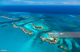 We waited a week before leaving for these out islands, primarily for better weather. It was, of course, winter, and the Bahamas are not in the tropics. The temperatures are generally warm at this time of the year, but a constant succession of cold fronts pass over the islands, causing shifting and often strong winds and wet conditions. In between the fronts, it was generally lovely.
The first leg of our route took us south-east to Allan’s Cay across part of the Great Bahama Bank known as the Yellow Bank. The few deep channels are defined by a strip of darkish blue water, but mostly the bottom is composed of gently shelving white sand, with limited contrast between the three metres we could move through and the two metres we couldn’t. However, the water is exceptionally clear and the real dangers fairly easy to see.
Allan’s Cay harbour is only a short day-trip from Nassau, but we seemed to enter another world altogether. We anchored in a channel between cays in the Allan’s small group using what is known as the Bahamian moor. This entails dropping two anchors from the bow, one up and one down the channel. The theory is that as the strong tidal streams and wind directions change, the boat swings around the bow rather than off the channel to the side and on to the sand banks. It was certainly necessary at times, and although most of the Americans used the system all the time we found it more commonly an unnecessary pain in the neck and avoided it when possible.
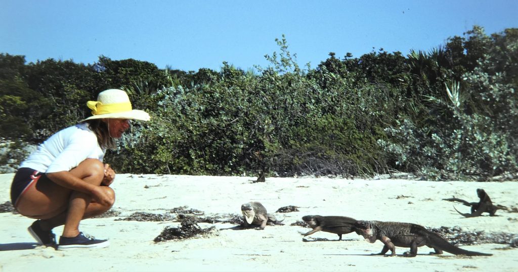 Norma went straight off into beach-walking mode while I blew up our fast inflatable dinghy. This became an important mode of transport out from anchorages to the countless tiny cays and white beaches that we explored, here and at all the other cays we visited. We also became very successful fishing, both from the dinghy and the boat, catching anything from little coral trigger fish to substantial barracuda and groupers. We only ever fished to eat, and we ate well.
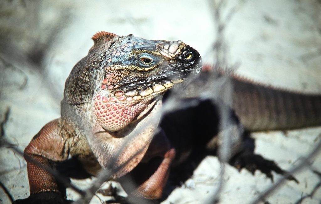 Allan’s Cay is known as the home of the few remaining large Bahamian iguanas. Some appear tame and rush down to be fed, but all have a ferocious bite and visitors are warned not to get too close. At night we heard a chirping sound, which we were told – and as a guidebook says – is the call of the iguanas. But an experienced local sailor gave us another explanation, which was that the sounds are from shearwaters nesting down their burrows. That did seem more likely.
There were about 20 sailing yachts in the anchorage, plus one racing-style power boat that came in late in the evening. It left quietly at first light the next day. Who knows what it might have been carrying . . .
Our next major stop was at Warderick Wells Cay. There is a winding narrow channel between the beaches and small cays encompassing the group, and this is both difficult to enter and to follow when searching for a good anchorage. Once anchored, we looked around to one of the most beautiful anchorages in the world. We lay over glassy, shining blue water rimmed by low green islets and pure white beaches.
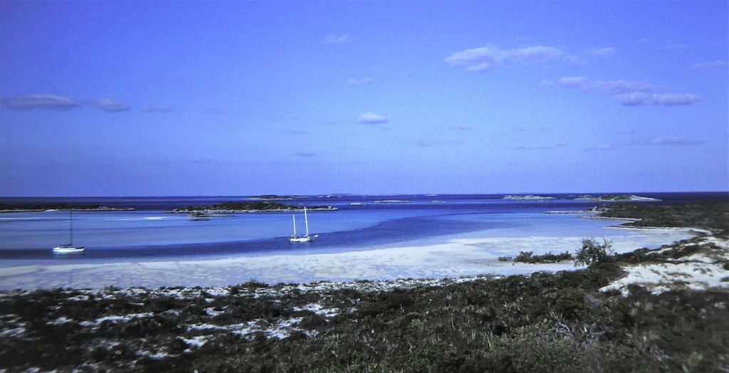
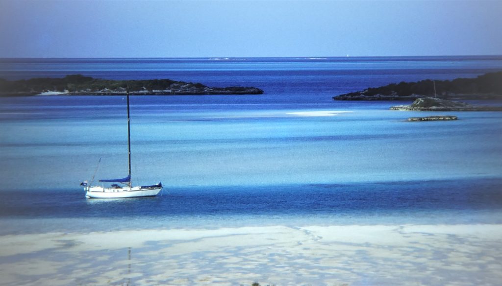
The beaches in the Bahamas are so exceptionally white because they are purely built by the sea. The sand grains are of oolite, which comes from the Greek and means “little stone eggs”. When all conditions in the sea water are favourable, layers of calcium carbonate grow on tiny particles in the water until the grains are finally deposited ashore to build a pure white beach.
The “Wells” in the name of this group is found elsewhere in the Bahamas, and implies – but does not guarantee – the presence of water in a well. There are no rivers in the low-lying Bahamas, and the only sources of fresh water are rain and these wells dug down through the porous coral rock. There was only a little stagnant water to be found in this well, but enough for Norma to do some washing.
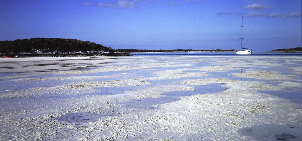 We were already friends with many other boats in the anchorage, and the lads from a small yacht caught an immense lobster and several large groupers. This was a good excuse for a marvellous beach party, where 16 of us enjoyed conch, conch fritters, salads, groupers and more lobster than we all could eat. This was to be the first of several such get-togethers through the Bahama winter, creating many happy memories as we cruised slowly through.
After a week of unsettled and cool weather, with enough rain for Norma to collect water for the boat’s tanks, the 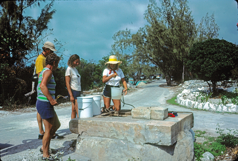 conditions reverted to beautiful. We continued down the Exuma chain, but not stopping at the prominent Norman’s Cay. This was bought by a German-Colombian consortium in 1979, and sports a high watchtower. The island was absolutely off limits, and was assumed to be part of a drug smuggling operation. We did have a long stop at the next lovely anchorage, at Little Bell Island, for lots of beach-walking, exploring minor cays in the dinghy, fishing, boat maintenance and snorkelling.
Staniel Cay is the only established settlement in the middle of the chain. It boasts a yacht club, wharf, small marina, post office and a general store (the “supermarket”). It is therefore a major stop for all boats going up or down the chain. It also has a well, but with water sufficient only for washing.
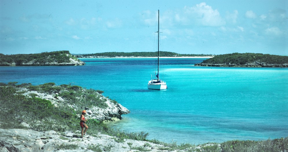
We anchored some way away north of the village in what’s known as Big Major’s Spot, in a channel between two large cays. The yacht club puts on regular “Bahamian nights”, and we soon went to one with a group of friends. There were a lot more yachties there, with 58 signing up for the dinner of fish, conch, rice and peas. Under a little islet nearby is Thunderball Cave, the site of scenes in a Sean Connery movie, and we snorkel dived into its  blue water. There is a little boatyard on Staniel, where local men were doing up racing smacks for upcoming regattas. At the small Happy People marina– six to eight boats at that time – we joined several others at its packed restaurant/bar for a regular “Pig Roast”. This was another fun night, but the food – not so good!
 The next major stop was at Little Farmer’s Cay, where we anchored in a protected little bay under Great Guana Cay, just across a channel separating the cays. The entrance to “our” bay was narrow, twisting and shallow; we got in fine, but lots of boats had trouble with it and others gave up trying.
There is a tiny settlement on Little Farmer’s, which features the Ocean Cabin bar and restaurant. This had only one table but was a central meeting place for all yachties, those just passing through and others staying for weeks. It had been established by a famous Bahamas sailor, Captain Henry Moxey, and was now being run by his son Terry and an English world-wanderer, Patricia. We became friends with them both. All the yachts agreed to buy a turtle for a big dinner for the captain’s 97th birthday; there were always plenty of excuses for a party in the Bahamas.
 By this time, too, we had linked up again with our good friends Brooke and David on Shenanigan, this time with their large schnauzer Schatzen. Shenanigan was a smaller boat than Cera, and Schatzen took up a lot of interior space! She spent most of her time looking into the sea from the deck, watching the fish, and Norma enjoyed taking her for the occasional walk on the beach during the weeks to come.
 Up at the Ocean Cabin, Patricia’s dog was required to have a blood test for heartworm, and I was volunteered to take a blood sample, my only venture into veterinary medicine. I did give him a shot of Valium first, as he was already growling when I came up to do the deed! Pat took the sample into Nassau for testing, and returned with a necessary replacement part for our hard-worked outboard engine.
The next great stop was off Lee Stocking Island. This was owned by a 70-year-old American oil billionaire, which he had set up as a private research establishment. The six people there were engaged in trying to persuade fish which are normally farmed in fresh water to breed in salt, and also experimenting with breeding lobsters and conch and with extracting energy from wind and sun. Together with couples from three other yachts, we dined al fresco with them on the island. We were to return there on our way back up the island chain.
On March 2 we finally reached the major centre in the Exumas, George Town, near the 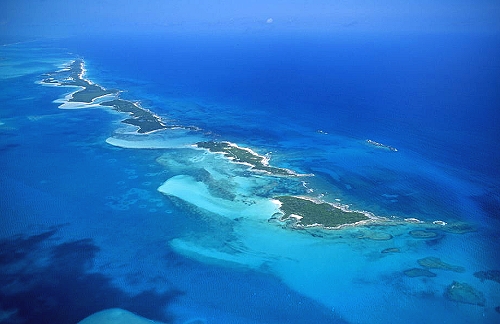 group’s southern-most point. The town
 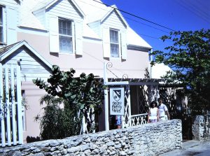 lies on Great Exuma Island, and a harbour is formed by the long Stocking Island which lies the other side of a wide channel. There are some enclosed bays in Stocking island, and in one of them we made our initial base.
We had arranged to have our mail sent to the Peace and Plenty Hotel there, and were dismayed to find among the pile of letters one from Bob and Fran Campbell. They had taken seriously our offer to have them aboard for a few days in the Bahamas, and after making some enquiries they assumed that we would have been in George Town about this time. They had 
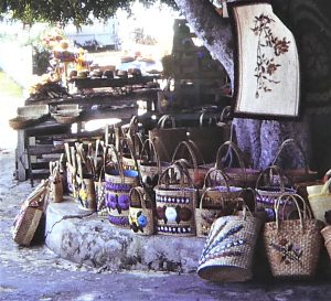
 flown down on the off chance, but our slower than expected progress meant that they had been and gone by the time we got there. (Communications between yachts in remote areas and the land, in those days, were not at all what they became much later.) However, in a phone call Bob assured us that they had still hugely enjoyed their short holiday in the Bahamas, the first they had had for many years! We did have one of his researchers, Forrest Council and his wife Sally down for a week, and we had a great time. They were superb guests, the first we had had aboard.
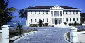
 With Shenanigan, in beautifully settled weather we poked around several of the mangrove cays and tiny bays further down Great Exuma island – very peaceful and quiet, very much out of the crowd. We took a look at an old fort on Man-o’-War cay and walked the sleepy and shabby little settlement of Rolletown, the southern-most in the Exumas. During this period we did lots of boat maintenance, with Norma re-seaming the mainsail and other sails, in anticipation of the major passages soon to come.
 Nearly four weeks flew by in this idyll, doing lots of walking and reading. Norma further built her shell collection and was making attractive “jewellery’’ from shells. She also got stuck into crochet work and dabbling in “fish printing”, a delightful Japanese art form. I was trying to learn to play an electronic keyboard and learning more of the history of music.
But we finally had to sail out and firstly back to Lee Stocking Island and our American friends there. Lucinda, the senior of the research group, came out in a motorboat to welcome us, take us ashore and bring us up to date on some new drug-bust dramas. A light plane, low on fuel, had landed on the island. They were asking for fuel and directions. Dissatisfied with the occupants’ bona fides – the pilot and a well-dressed Colombian – Lucinda and the others took them under citizen’s arrest at gunpoint, pending the arrival of authorities from George Town. They included local police and American DEA agents. The drug runners did not carry guns, because the penalties for doing so were far more severe than for smuggling drugs!
 The authorities subsequently found 540kg of cocaine, with a street value of over $100 million, stashed by a transponder at the end of the runway! They told us this story rather shakily, wondering if the drug bosses would seek some retribution.
That very night we saw a light plane flying very low, shining spotlights. It disappeared, and Norma told me with some excitement that she had just seen it go down. In the morning the Americans told us they had also seen lights and a plane apparently landing somewhere to the north. The next day an unmarked, fast sport boat (as typically used by drug smugglers) with no marked name or hailing port pulled up alongside us. Three unshaven men on board asked us for directions to George Town, being hopelessly lost! They rushed away towards a closer settlement despite our warning that navigation in these waters without a chart and at night was dangerous. We radioed Lucinda to report this incident, and they in turn got in touch with the George Town police. When the suspicious three arrived there, they were promptly arrested!
We then sailed to a pleasant anchorage off Musha Cay, an island we had visited on our way south, owned by an American couple with whom we had become friendly. We found them full of excitement. The talk was that the aircraft seen by Norma going down three days previously had indeed ditched in the sea, and was lying in about 20ft of water just south of nearby Lansing Cay. Four Cuban men had apparently been aboard and disappeared. Armed helicopters were flying around.
 The Musha Cay anchorage became uncomfortable, and we moved back to Little Farmer’s Cay. Meanwhile, the people from Musha and Lansing had dived on the aircraft and decided to try to recover it. Following some radio conversations we took the dinghy on a splashy five-mile ride back to meet all the others between Musha and Lansing, where the aircraft lay. So started some real fun and games. Some of the men dived and took a hose down to the cabin, and we pumped it full of air with a foot pump until the plane floated just awash, enough to be towed. The plane sort of “flew” through the water, with Norma and I trimming it by moving on and off the tailplane. The wings were supported by fenders and empty jerry-cans. We towed it to a beach on Lansing Cay, where the tide was high. As the water receded it revealed a very nice twin-engined Cessna, which we had all sorts of fun poking around.
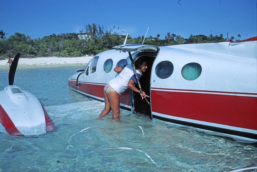 The (presumed) smugglers had taken off everything they could carry, but forgot their charts, which clearly showed their route from a little airfield in Colombia. By this time the US Coastguard (an enforcement rather than rescue body, working with the Bahamian authorities in a fruitless attempt to cut down on this sort of thing) had spotted us from their jet, and sent a chopper to find out what we were doing. Whether, indeed, what we were doing was lawful I had no idea, so we initially stayed in the background. In fact, all seemed pleased we had found the plane, whose owner was probably untraceable. As Norma was rooting through the lockers in the plane a Coastguard officer joined her, saying “you are having a good time, aren’t you!” Altered numbers and other defacements showed it was stolen. We all lunched with the Lansing people, who were intending to remove the aircraft’s air-conditioning system and convert it for their house. We simply snaffled some curtain slides for our cabin windows.
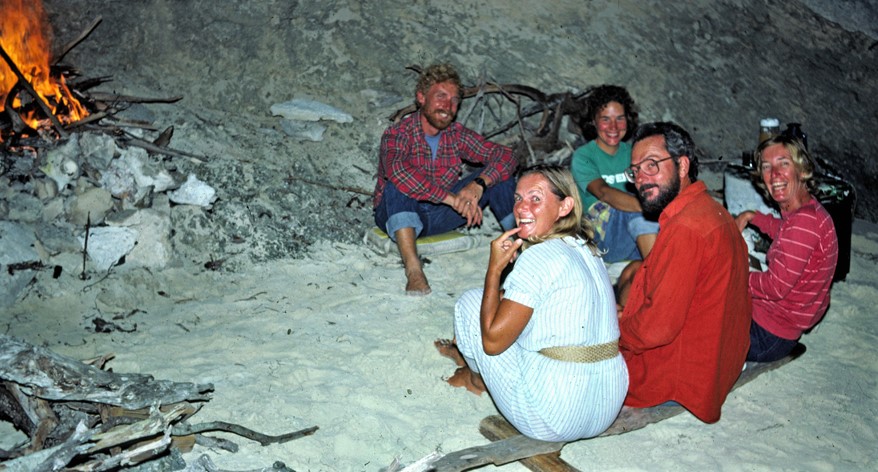 The next day, back on the beach at Musha, along with Brooke and David we joined all our other yachting friends for a marvellously enjoyable beach dinner party.
Continuing on our way north, we returned also to Staniel Cay and the Big Major’s anchorage, and then again to Hog Cay in south Warderick Wells. With Shenanigan we took the dinghies to Halls Point Cay just to the south, where there was an abandoned country club. We souvenired some light aluminium tubing from poolside lounger chairs, which we used to make a larger wind vane for the yacht’s self-steering gear. It later proved to be much more effective and lasted for several thousands of miles. Still with Shenanigan we spent a couple of nights in the very pretty surroundings of Hawksbill Cay before returning to Allan’s Cay for another visit to the native iguanas. Caught fish for dinner, too easy.
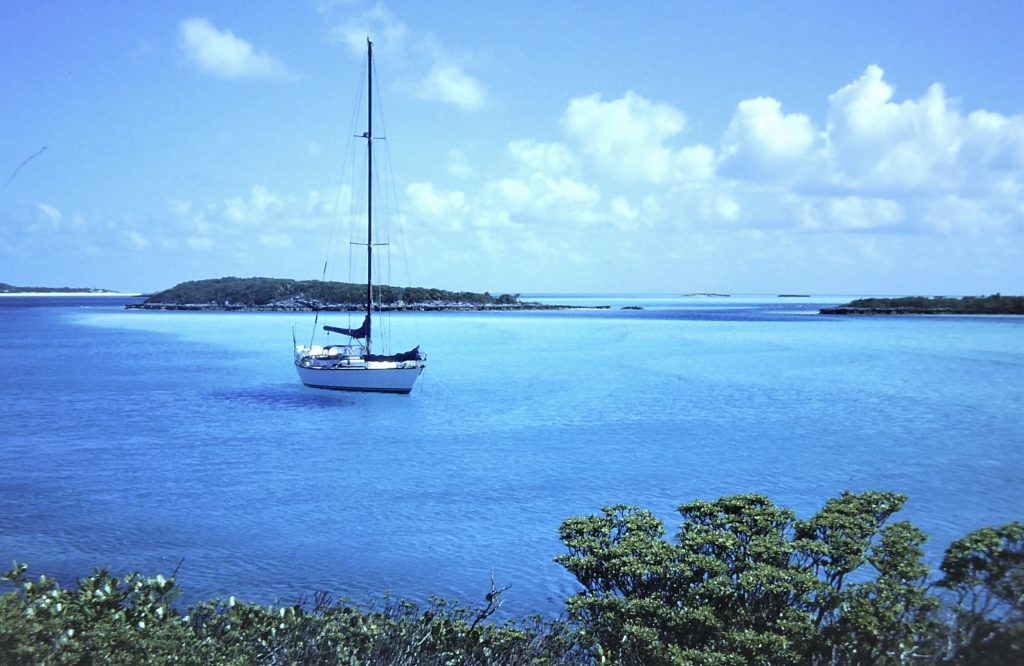
And so, after a truly wonderful time in the Exumas, we returned to busy Nassau. We were soon ashore for mail and shopping and – inevitably – engine and outboard parts. We spent a week there fixing things up and generally getting Cera seriously ready for sea, as the planned passage to Bermuda would be the longest we had made for a good while. We were pleased to see Al and Sharon, Kealoha, come in just before we left, and shared a final meal with the whole group, off and on together ever since the Panama transit.

We cleared Customs on Tuesday May 7, 1985. That night we shared a Chinese dinner on Shenanigan with Brooke and David, with farewells of the kind of happy sadness that long-distance cruising sailors have to get used to.
We had cleared out of Nassau with full anticipation of a long sail to the north-east and Bermuda, starting with a relatively easy passage out from the Bahamas between the island groups of the Abacos and Eleuthera. However, by the early afternoon of the first day at sea the wind strengthened exactly from the north-east and was forecast to get worse, with storms. So following our maxim that to leave port in the face of a bad forecast you deserve all you get, we looked at the chart and sailing directions and chose to pull into Royal Island, near the tip of North Eleuthera Island.
On the south side of the long and narrow Royal Island there is a beautiful and almost totally enclosed little bay, which we accessed after passing a stranded freighter and traversing a narrow channel with a rock in the middle. We were nearly on our own there, and anchored off a landing dock adjacent to what looked like an old sheep farm. We saw goats and pigs wandering around.
We could see a large house ashore, but our sailing guide told us that the island was privately owned and landing was not permitted. As a change from Nassau we loved the peaceful surroundings, but the skies looked a bit threatening. James, a local sailor with a speedboat, offered to take us on a trip over to Spanish Wells, a settlement on another long, thin island between us and Eleuthera.
 Spanish Wells, on St George’s Cay, is an extraordinary place. Historically, the island was used as a last stop for Spanish ships returning to Europe, where they refilled their water supply from wells created for this purpose – hence the English name of the settlement. The first British colonists were the “Eleutheran adventurers” from Bermuda (intending to be some of the first settlers of Eleuthera), who were shipwrecked on a reef off Eleuthera in 1647 and ended up on what became known as St George’s Cay. Among other, later, groups of settlers were Crown loyalists, who had left the United States after the American Revolutionary War.
The present inhabitants are almost all descended from the loyalists. Slavery was not important to their economy, so the population of the island is white. To hear a pretty young blonde talking in accents of pure Afro is quite a shock!
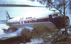
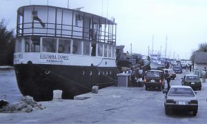 On our trip James first showed us a couple of ditched DC3 aircraft before coming to Spanish Wells. It had a few little roads – nowhere much to go by land – and looked simple but clean, with no garbage to be seen. The old part of the settlement housed residents in little square dwellings, and there were some bigger houses overlooking the sea in the “suburbs”. We had lunch at a resort hotel patronised by divers before a hair-raising ride in the speedboat back to Cera in the light of threatening skies.

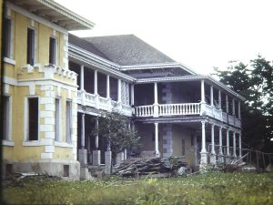 By this time we knew that the large house ashore on Royal Island was abandoned and empty, so the next day we took an interesting walk around the big property. It must have been a lovely old place. The main house was a mansion surrounded by several outbuildings, including a ball room and a billiard room, still with two slate tables. Around and about there were paths through once pretty terraced gardens, with mango trees and other tropical plants along a road across to the other side of the island and a beach. Service buildings still housed tractors and even an old car. A caretaker’s building did show signs of recent habitation, reputedly by illegal Haitian immigrants. We returned to the boat with loads of juicy, ripe mangos.
The weather then closed in completely, with the heaviest rain we had experienced in the Bahamas, complete with thunder and lightning overnight. After it cleared the forecast became favourable and on Monday May 13 we decided to get going yet again, still en route for Bermuda and the North Atlantic to Ireland.
Since leaving Sydney we had sailed over 19,000 nautical miles, or more than 35,000 kilometres.
The North Atlantic: from the New World to the Old
Bermuda
 The passage to Bermuda - across the notorious Bermuda Triangle - started well, on a fast broad reach away from Eleuthera to the north-east, but the swell built up and Norma had to stick a Transderm scopolamine patch behind her ear, with good effect as usual. The clouds became thundery, and lightning lit the skies on the horizon. After a few days this trough was forecast to dissipate, but it stayed windy and gloomy for a while, with lots of headsail changing and reefing/unreefing of the mainsail.
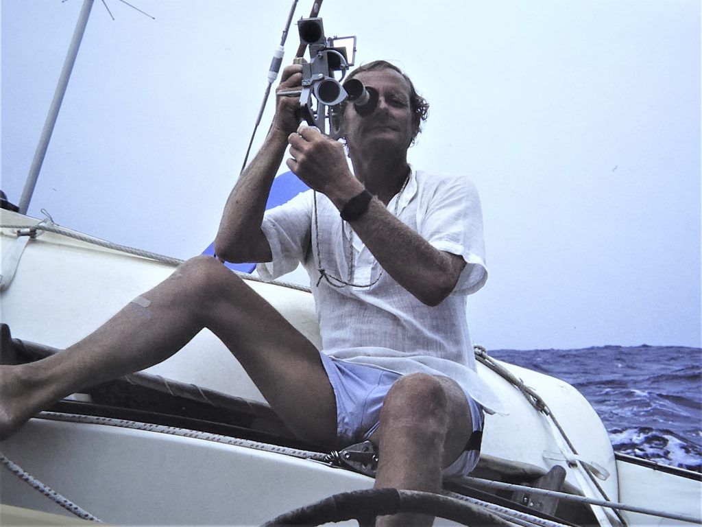 The day before our estimated arrival we were taking exceptional care with navigation, including celestial navigation shots to supplement the intermittent satellite fixes of the old system plus radio beacons. The vast shallow, rocky Bermuda Banks - 20 by 10 nautical miles - on the eastern side of which the close-packed Bermuda islands lie are an extremely dangerous landfall for shipping, and there have been hundreds of wrecks on the fringing reef, including some ships within the year or two before we arrived. Vessels are warned daily by Bermuda Radio to stay at least 30 miles clear unless making port within the group.
After five days at sea it was therefore alarming to experience extreme humidity and appalling visibility as we neared the port of entry at St George in the northern corner of the island group. We could see nothing at all of the land - or even the lighthouses - until white-roofed houses finally loomed through the mist, eerily high on the waterfront hillside. We therefore edged very carefully up the eastern side of the island to the narrow Town Cut that took us through to St George's Harbour. We were then quickly cleared in by friendly Customs officials.
 Bermuda is Britain's oldest and smallest but most affluent British Overseas Territory, internally self-governing (except for external affairs and defence). It's a lovely little country, a tiny group of coral islands compacted into an almost unitary mass. It is packed solid with people, everything is neat and tidy, and the buses run on time. But it has always been a ferociously expensive place, with the highest cost of living in the world, appealing to the richest of well-heeled tourists as well as to us.
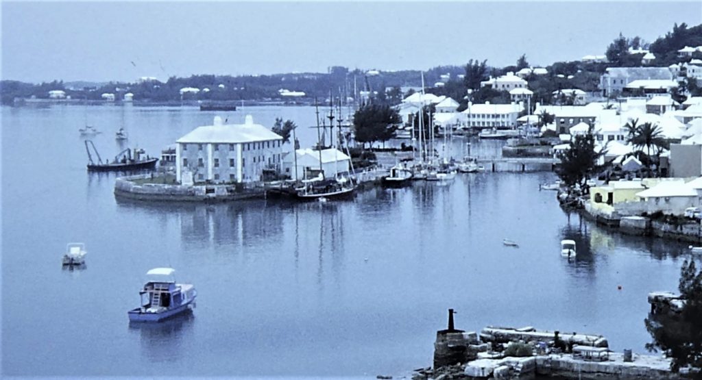 We took a quick walk around the town of St George, very pretty, lots of flowers, very clean and narrow streets through lines of pastel-painted houses and, of course, very few cars (one of limited power allowed per household). Their almost universal white limestone roofs are used for the collection of water, which drains down into underground storage tanks.
We soon caught up with friends in the anchorage, such as Don and Jan Fribourg, in the yacht Passages, whom we originally had met in the Intracoastal and were also planning the Atlantic crossing. As usual we also made lots of new ones. These included George and Teresa Coburn, in Goose, who were also planning to sail to Ireland.
 Bermuda is a natural crossroads for yachts, as many return to the US from the Caribbean for the summer, and others, like us, enjoy the break during a west-east crossing of the Atlantic. We got some good advice from the well-known yachting writer Don Street, who was regularly sailing from Ireland to the US and back, and whose cruising guides we were to make much use of when we returned to the Caribbean a few years later.
Bermuda is proud of its colonial status, and plays it up for all its worth, mostly for the benefit of the well-heeled American tourists who are the main source of income. St George has a Town Crier, for instance, who daily ducks maidens and  locks other offenders in the stocks. All very ersatz, but as well done as we have seen, and good fun. Other sights in the town included a historical museum in an old house, and the remains of an unfinished church looking like a Gothic ruin. On
 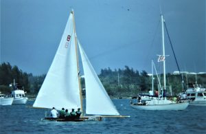 "Bermuda Day" we enjoyed watching the races for the locally designed and built sailing dinghies, 14-ft skiffs with long bowsprits, six crew, little freeboard. They were reminiscent of the original Sydney Harbour racing skiffs.
There were some very pretty coves along the southern side of St George's Harbour, ringed with typically colourful Bermudan villas and large banks of flowering oleanders. We walked ashore up some winding lanes and to St David's lighthouse, which would have been useful if we could have seen it during the night we were approaching the island. On another walk we visited the Fort St Catherine, at the tip of St Catherine's Point, Bermuda's northern-most promontory. The fort was nicely presented, lots of well 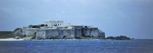 preserved cellars and corridors, displays of uniforms and lots of guns, and dioramas of the British settlements.
After a week in St George's we motored down to Hamilton. The route was complicated but well marked, taking us out of St George's through a ruined bridge and then a swing bridge and out along the northern side of the main island  through shoaling and coral-fringed waters to Spanish Point, seeing masses of incredibly opulent houses on the shore along the way. Here we turned hard to port, joining the shipping channel through a collection of islets until the large Hamilton Harbour opened up before us. We even caught a nice tuna on the way. Not many visiting yachts were taking the time to take this trip, because of its difficulty and the highly sociable conditions in St George's, but we thought it was well worth while.
Hamilton was busy at first, with two cruise ships lying at the main wharf, but they soon left and things got a lot quieter. We thought it was a lovely little city, set in spectacular scenery, with touches of tradition such as horse and buggy carts. The shops were more like those in European cities than American. George and Teresa (Goose)  joined us for drinks at the yacht club and steaks at the Rams Head pub. Good fun. Also in Hamilton were David and Agnes from Agnes Marie, friends from the Bahama days, who had just had a bad passage across from Fort Lauderdale. All of us three couples were planning next to head east across the Atlantic.
We took the opportunity to sign in at the Royal Bermuda Yacht Club, which became a hospitable base with good showers - the first hot ones we had had for months! We chose to anchor the other side of the harbour from the city and yacht club, in a peaceful spot off the south-east corner of White Island. Ashore we picked up masses of mail, some which had come via the Bahamas and even via Barbados for some reason! Part of the next few days was spent dealing with it and responding to many letters.
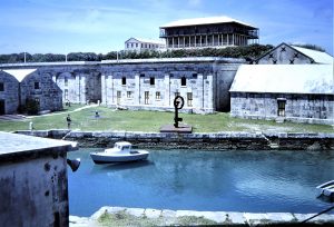 We walked up to Fort Hamilton, never completed, but now the centre of a green and pleasant landscaped park. Then we took a big outing by bus to the Maritime Museum in the keep at the old naval dockyard, a great run round the Great Sound at the southern end of the island group. There were some lovely views of the southern beaches and their pink sand, overlooked by some good-looking hotels. The old dockyard was fascinating: wharves and warehouses, Spanish-style towers with a big clock and tide timer. The beautiful Commissioner's house was being restored; from its position on the top of a hill we could see both ends of the country of Bermuda! There were great displays of treasures - and more mundane stuff - recovered from the many wrecks on the surrounding reefs. We returned by a different bus route past more big colourful mansions with flowery gardens and velvet lawns.
At the yacht club we had met Beau, who owned a tourist cruise vessel and, having passed by us in our anchorage a few times, invited us to join him on a dinner cruise as his guests. This was a highly enjoyable run through yet more pretty little islands and a buffet dinner at a waterside restaurant. Our voyaging stories were something of a tourist attraction!
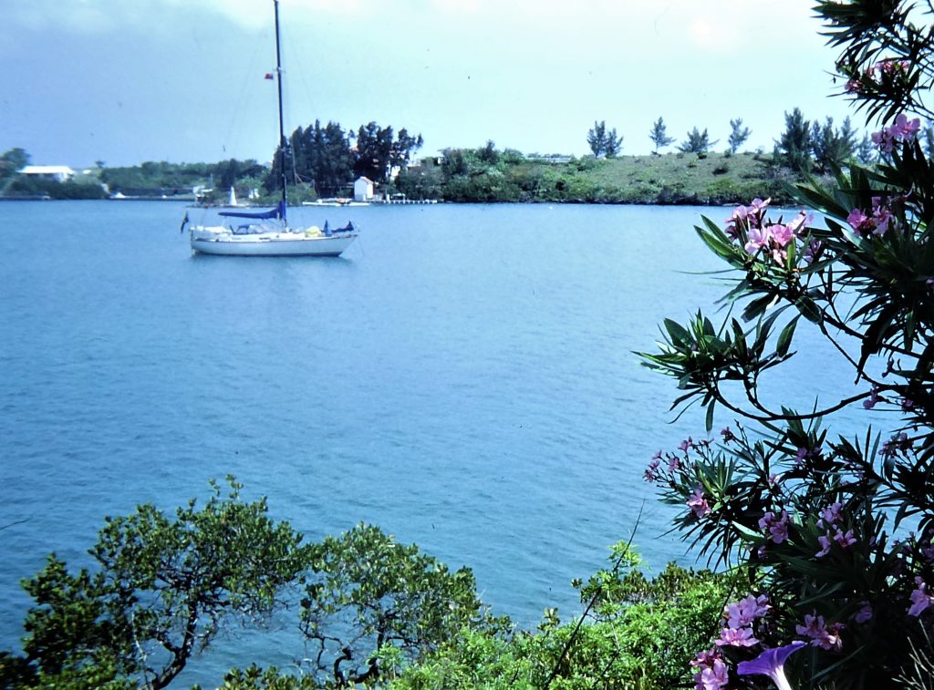
For a change of scenery we motored to another anchorage, known as Paradise Cove, among one of the collections of small islands in the greater harbour; inevitably, it featured masses of oleander bushes. We spent productive time doing some rigging maintenance and diving under the boat to clean the hull, all in preparation for the long passage ahead. The weather conditions were very fine, and from the radio chat among three of us it seemed that we would all be leaving soon.
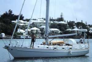
We returned to Hamilton to clear Customs, and again were joined by Agnes Marie at anchor by White Island. On the morning of Saturday June 8 Goose radioed to say they were off and we arranged to talk with them "6 on 6", six o'clock on Channel 6 VHF. We were about an hour behind them when we also pulled out and then with Agnes Marie we motorsailed the ten-mile South Channel between the shallow Bahama Bank and the islands of the archipelago. Finally we made it to the (officially named) Narrow Channel through the fringing reef and thus to the open sea. As required, we called Customs after clearing the reef, and having given our planned destination the reply was, "there's another yacht going to Ireland right ahead of you!"
Bermuda to Ireland
Our general strategy was to sail just south of the shortest possible route over the globe, the “great circle”, for three main reasons. First, the great circle route would take us up into the region where icebergs were to be expected (during the northern spring, having calved off the great glaciers of Newfoundland and Greenland). Second, we would be too close to the vast Grand Banks, notorious for shoaling and turbulent seas ("Perfect Storm" waters) and hundreds of fishing boats. And third, because the further the north the stronger the gales that are associated with the depressions that regularly march across the northernmost North Atlantic.
In effect, then, we chose to sail a curve to the south, which is plotted as a straight 'rhumb line' on the Mercator chart. This would add a day or two to the passage time, but we were quite right to make this choice, because we later read that it was a bad year for icebergs and because we were to have quite enough trouble from passing depressions as it was, without getting even closer to them! At the best of times, an east-going passage of the north Atlantic is hard work, as were soon to confirm.
The passage started well, with quite strong favourable winds under cloudy skies, and we made good 145 nautical miles in the first 24 hours. The conditions remained generally favourable for the first six days, and we were staying in daily touch with Goose on VHF radio. The winds then became shifty and quite strong, with lots of busy sail-handling and changes required. Clouds were 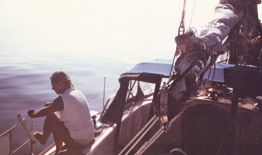 building, associated with a depression to our north, which we had been avoiding by sticking to our plan to follow the rhumb line and stay south of the worst of the weather. As the first week at sea passed, we had made 1000 nm since leaving Bermuda, not bad going. We watched massive collections of Portuguese Man-o-War jellyfishes, and during a period completely becalmed Norma replaced some broken mainsail slides.
Ten days out, and as usual following a calm, a new gale centre was forming off the Labrador coast, about 1,000 nautical miles to our north-west. We changed course a little more southwards in the hope that it would pass us well to the north. The wind increased from the south, being sucked in by the depression; the glass was falling and we reefed sail. The wind continued to build as we broad reached at good speed in steep seas under heavy clouds. Having sailed so far eastwards it was now time to put the ship's clocks forward an hour.
At 7:00 pm new ship's time there were two heavy thumps heard from the bow. I dived down through the cabin and took up some floorboards to inspect the bilges. It was obvious that we had hit something, and the great fear was that it might have been a container that could have punctured the hull. However, no damage was apparent and we concluded that it was probably a partially immersed floating log - we thought we could see something brown and weedy on the surface of our wake.
By this time we were also passing by the occasional lump of ice, no real threat, but again confirming our decision to stay south of the great circle course.
Both the wind and seas increased to gale force during the next day, with the mainsail reduced to triple reefs before a moonless, pitch dark and very windy night. The 0700 log for 19 June reported: "a grey and stormy dawn, well-established angry sea". The storm centre was about 300 nm to our NNE. By this time we were 1,378 nautical miles from Bermuda, with 1,310 to go - just over half way! We swapped storm stories with Goose, we both having experienced gale Force 8 conditions all day, with seas up to 5 metres. A new gale was forecast to follow this one, so we stayed down along the southern border of our general course.
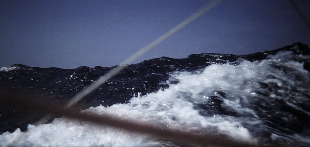 By the next dawn the winds were down but the seas still high. Sailing quite slowly to get some rest, during the night we were caught up by a big breaking wave that tossed us up, turned us sideways and knocked us down. As we turned back upright we rushed around the boat and found no obvious damage, and only a splash of water had made it through the main hatchway. But there was some chaos, with anything loose below having been tossed around, including most of Norma's herb pots in the galley, which had escaped their rack. Herbs were also growing in Norma's little "garden" in the aft cabin, but soil marks on the cabin ceiling showed that they had thrown up and struck it. A kettle of water had been tossed across the galley, and egg cups in their holder had been turned upside down.
As the day dawned we did find some more significant damage. This was that the shaft for the rudder on our wind-vane self-steering system had been bent. The system was working to some extent, but the boat was yawing badly. The yaw was reduced somewhat by the use of our simple electric autopilot, connected to a drum on the ship's wheel, which we normally only used when motoring in windless conditions because of its heavy drain on the batteries.
We debated diverting to the Azores to fix things up, but decided to press on as long as we could arrange some kind of self-steering. We gave Goose our story as we both rolled around in a now windless left-over sea about 50 nm apart. As the wind gently returned we were off again, but the vane and autopilot were together having great difficulty keeping us on course. As our speed increased it became clear that the drag on our wonky vane rudder was becoming intolerable and a possible threat to the transom where it was bolted, apart from its interference with the yacht's main steering. As we were often wont to say, when voyaging across oceans, if a thing has to be done, it has to be done, however unpleasant. So I strapped on my harness, clipped it on to the stern in two locations, and climbed over the stern into the deep, cold, north Atlantic Ocean.
With great difficulty, in a swell dipping me in and out of the icy sea as the stern rose and fell, I managed to unbolt the vane rudder from its shaft. Norma hauled the rudder aboard, closely followed by me. Its removal made it much easier for the primitive little autopilot and the yacht's main rudder, a combination that managed to settle us on more or less the desired course.
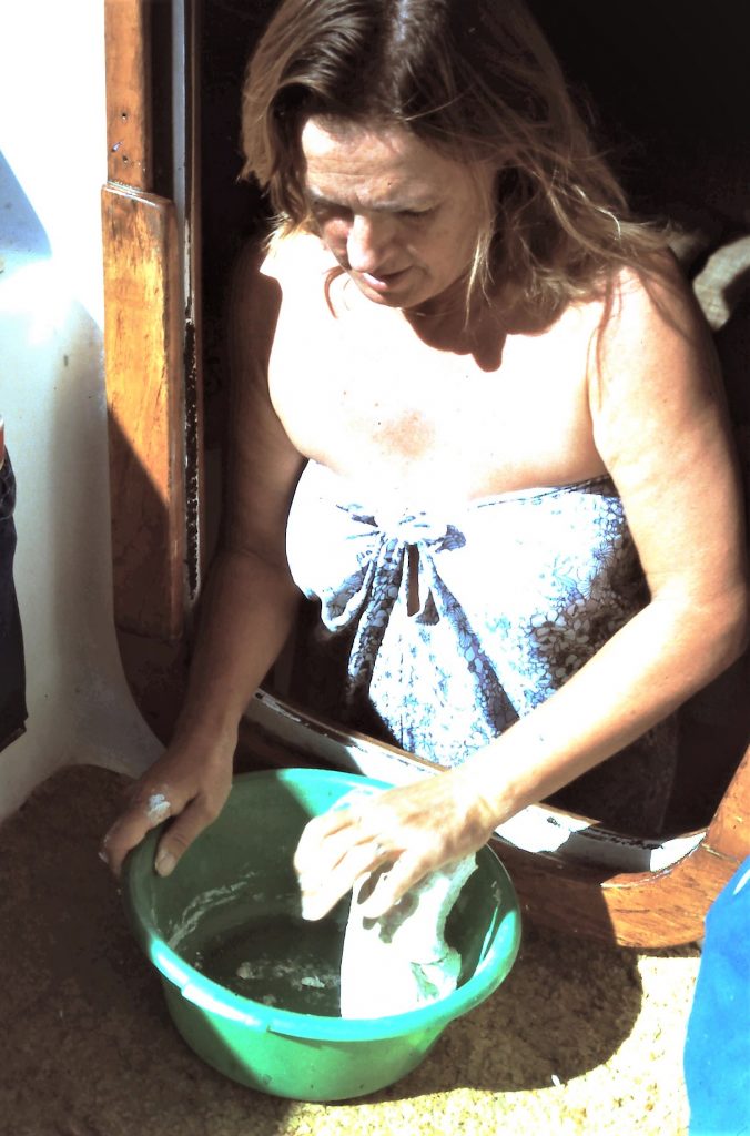
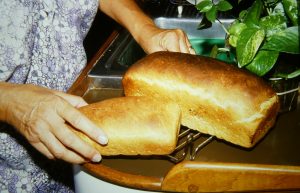 We heard on the radio that all the UK's Atlantic waters were experiencing Force 7-8 gales which, of course had been ours the day before. But no gales were now forecast for us, and Norma baked us some delicious bread. She always had to bake a small sacrificial loaf to eat immediately, as well as the main one, because we could never resist the smell and taste of new bread! Although a good sailing wind came in, we still had to run the engine for extended periods to keep the batteries charged for the autopilot and we started worrying about fuel supplies.
Just over two weeks out from Bermuda we had lost the US weather forecasts and were getting excellent French forecasts for the North Atlantic. In French. We taped the transmissions and then laboriously translated and transcribed them. They indicated light and lessening winds, so we set the spinnaker. This was not a really good decision. We had an anti-wrap system deployed, but even so, the spinnaker became badly wrapped around the forestay as we rolled in the leftover swell. The only way to undo the wrap was to unclip the spinnaker head from the halyard and the tack from the headstay. Again, then, what had to be done had to be done, and in the bosun's chair I was helped to climb up to the masthead by Norma's work on the halyard winch.
Cera's masthead is over 15 metres from the sea and was swaying side to side through an arc of up to 40 degrees. This made it hard to hang on with one hand while I was untangling the top of the benighted spinnaker with the other. Meanwhile, Norma was unwinding the lower end of the sail while wedging herself against the stainless-steel pulpit. I could never have got down by myself, and foreseeing the remote possibility that the boat could arrive somewhere with my skeletal remains still up the mast, I shouted only half-jokingly, "for God's sake don't fall off now!" (My contemporary log laconically records: "had to go up mast to undo halyard").
The general weather returned to miserable, with fogs and drizzle and an increasing wind making the seas sloppy. We were still able to talk to Goose, and exchanged condolences. They were having trouble navigating, relying on celestial fixes that were pretty near impossible in these conditions. But at least they knew they were within about 50 miles of us, about the maximum range for VHF radio.
Our conversation was picked up by another yacht, Lion of New Zealand. The skipper introduced himself as Peter Blake, who became very famous as a round-the-world racing and record-breaking sailor, not to speak of his knighthood and several other awards in later years. His incredible life ended in December 2001, when pirates shot and killed him while he was on an environmental exploration trip in South America.
This day in the mid-north Atlantic, however, he was just another yachtsman discussing experiences crossing an ocean, accompanied only by his wife and his child playing happily on the boat. Having won the 1984 Sydney-Hobart race he was now sailing from New Zealand to the UK for the start of the 1985-86 Whitbread round-the-world race, and we were to see him a couple of times in Britain. We had another long chat with him the following day, in - for once - easy sailing conditions.
 In continuing favourable winds we set the spinnaker again for a while, and Norma baked more bread. With hopefully less than a week to go, she was proud of her good timing on boat stores and supplies. It was getting cold, cloudy and wet, though, and we were beginning to use the kerosene cabin heater we had fitted in Vancouver.
With only a day or two to go we were getting worried about fuel and, sure enough, the engine suddenly stopped. The injector pump was full of air, having sucked air instead of the fuel that had been slopping around in the constantly moving tank. Bleeding the pump got the engine going again and back to charging the batteries. Amazingly, after all this time and distance, and never having intended or tried to stay in convoy, we were still close enough to be able for the last time to contact George and Teresa in Goose, who were going a little further on to Cork.
A minor milestone was that we had just crossed the latitude of 50 degrees north, as we had done in the Pacific North-West, but something we had then resolved never to do again!
A few hours later, the cry of "land ho" was heard at 5:55 pm on Sunday 30 June 1985. On that very last evening of the passage, by which time we were within a couple of miles of the coast, the clouds at last lifted and in the setting sun we could see south-west Ireland for the first time. To port were rocky, rolling hills, patches of green, and on every headland the ruins of a castle or Martello watchtower, all reminders of the several Spanish and French attempts at invasion of this wild bit of coast.
What we had seen was Dursey Island, about five miles abeam to our north, at the north-western extremity of Bantry Bay in the Republic of Ireland. We continued along the southern side of the Bere peninsula and ducked into the channel between the mainland and Bere Island. At 2100 we anchored in the quiet and calm of Castletownbere Harbour. (To be pedantic, which doesn't work in Ireland, according to the charts the name of the village was Castletown Bearhaven, and we were in Castletown Harbour.)
With the anchor set, we embraced each other on the foredeck in mutual affection, relief and gratitude.
There was a shout from a neighbouring French yacht: "where have you come from?". "Bermuda", we replied. This was replied by celebratory cheers from the French sailors. Justified, we thought.
We had sailed about 2,860 nautical miles (5,300 km) in 22 days, making just over five knots, quite a good average speed for us considering the changeable conditions. We had never been more pleased to arrive at a destination. After a beautiful evening we enjoyed a deep sleep all night, for a blessed change.
